Sydney By Rail:
Along the Cronulla/Illawarra Line, NSW
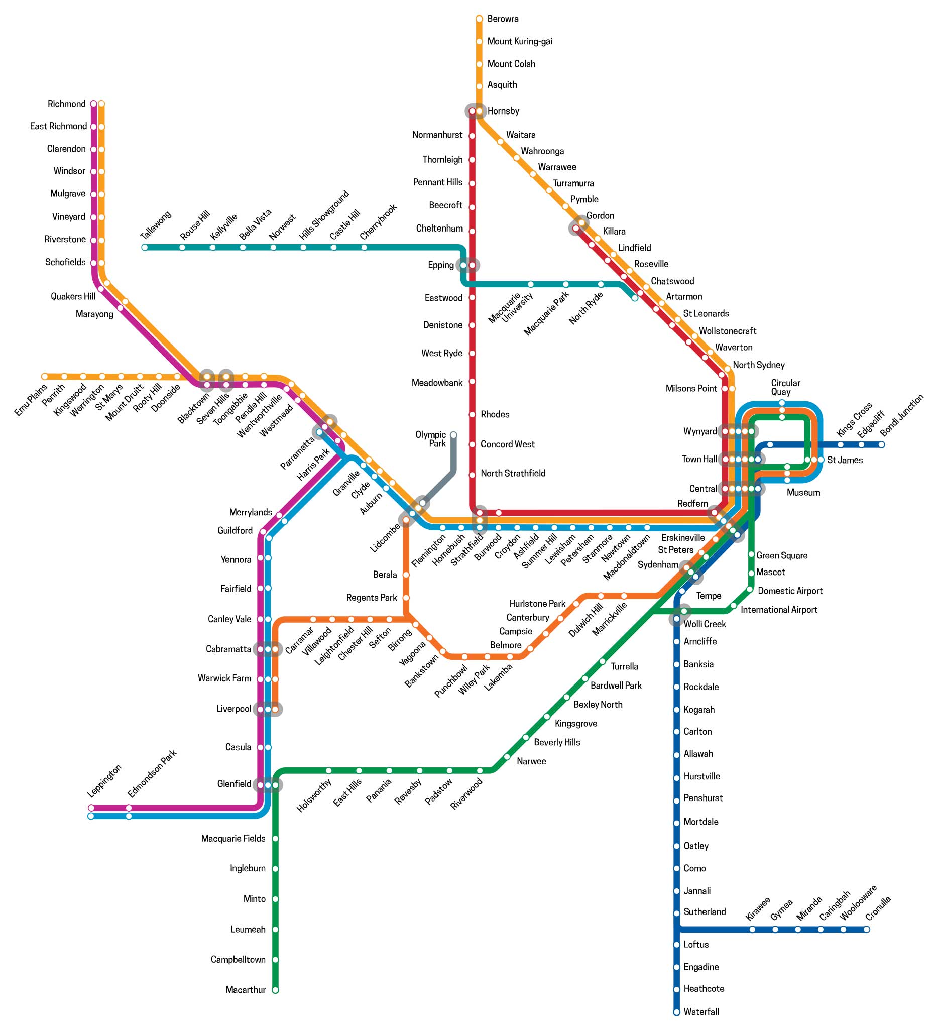
The Cronulla railway line serves certain suburbs in southern Sydney. Trains to Cronulla traverse the Illawarra line to Sutherland. The Cronulla line branches off immediately south of Sutherland station, with a sharp turn towards the east towards Cronulla. Due to sharpness of this curve, trains are limited to 55 km/h and noise walls have been built on both sides of the line to reduce noise levels for local residents. It is double track throughout, with all stations having island platforms, except Cronulla. The entire line is controlled from Sydenham Signalling Centre and is equipped with standard NSW double colour light signals. The line is not designed for freight trains, so all trains are for passenger services, except for track maintenance.
Since the opening of the Eastern Surbrbs line in 1979, the Illawarra line has been directly connected to it, providing a through service. The suburban services to Waterfall and Cronulla have been marketed as the Eastern Suburbs & Illawarra Line and interurban services south to Wollongong and Bomaderry as the South Coast Line.
Not all trains travelling on the line between the City and Cronulla stop at all stations after Sydenham. Hurstville only services stop at all stations between Sydenham and Hurstville. Cronulla and Waterfall services stop at limited stations between Sydenham and Sutherland, and they do not stop at the same stations between Hurstville and Sutherland.
For the purposes of this exercise, we have detailed all the stations on the line between Central and Sutherland where trains stop, but we suggest you check timetables and electronic display boards on the platforms at each station before boarding a train to ensure it stops at the station you are travelling to.
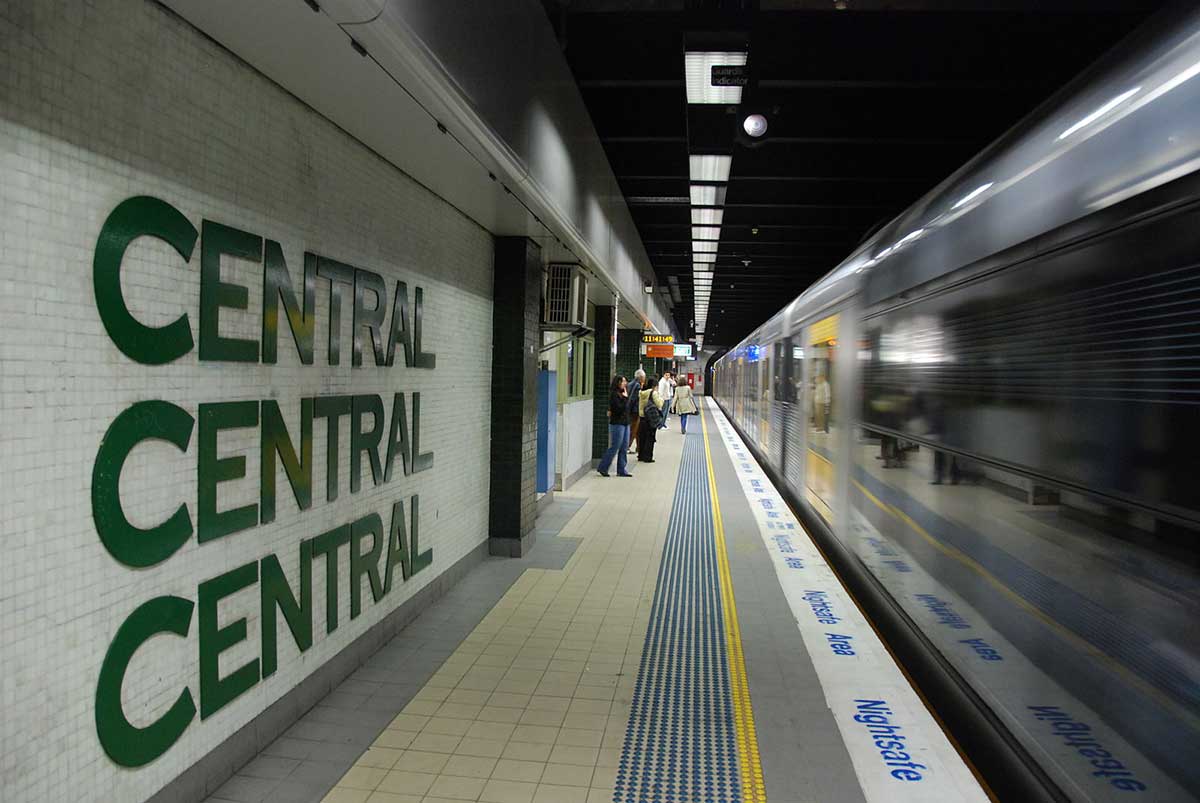
Central Station
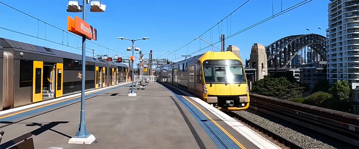
Trains on the Cronulla and Illawarra lines pass through the Central Business District on an underground line that connects directly to the Eastern Suburbs line. It remains underground, passing throgh Town Hall and Martin Place before emarging as an above-ground line for a short distance at Woolloomooloo. Tains on the Cronulla, Illawarra and South Coast lines use the underground platforms 24 and 25 at Central Station.
Redfern
Trains on the Cronulla, Illawarra and South Coast lines enter and depart Redfern station via an underground line. During construction of the Eastern Suburbs Railway (now platforms 11 and 12), it was proposed to build up to four platforms for the line's underground route. Two of these platforms were built and now are platforms 11 and 12, which serve Eastern Suburbs in one diretcion and Cronulla, Illawarra and South Coast trains in the other. A dive tunnel near Redfern station allows Intercity services from the South Coast Line to cross underneath the main suburban lines to access Central station.
The two unused platforms were intended to be used on planned Southern Suburbs line to Mascot and Marboubra that was never built. Some locations along this planned route are now servicecd by stations on the Airport Line (Green Square and Mascot). Marboubra is now serviced by light-rail along Anzac Parade. The line's stubs are visible through a small gap in the wall opposite Platform 11, as well as by a boarded up entry portal under the Lawson Street Bridge (which was to be the down track), and a now filled-in dive tunnel under the Wells Street Sectioning Hut on the Central side of Lawson Street. The area in which the platforms were to be situated is visible from the station concourse at the entrance to Platform 10.


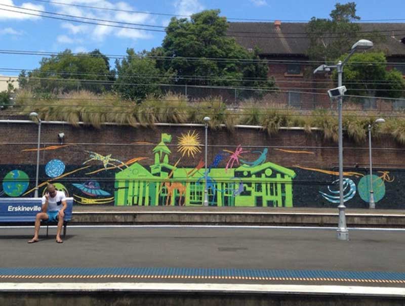
Eskineville
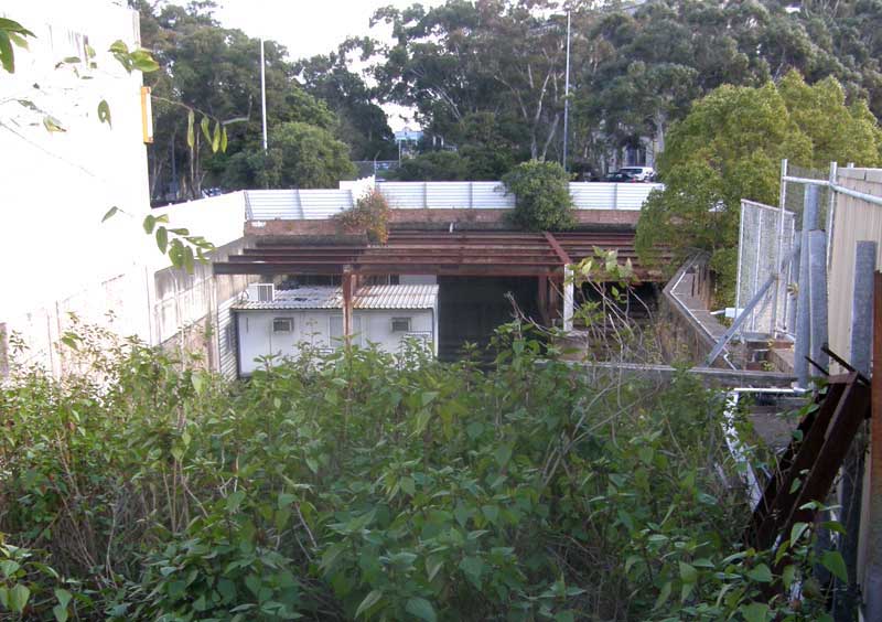
Cronulla, Illawarra and South Coast services enter and exit Redfern station below ground, and emerge at ground level close to Eskinville Railway Station. A tributary of Black Wattle Swamp Creek, which enters Blackwattle Bay at the northern end of Wentworth Park, originally had its source beyond Erskineville station near the corner of Ashmore Street and Binning Lane, according to early maps. The creek is now fed by run-off collected by street drains. The railway corridor south along which Cronulla, Illawarra and South Coast trains run was in fact built through swampy ground that drained into Black Wattle Swamp Creek. The northern boundary of the Eveleigh Railway Workshops followed the creek. Cronulla trains pass through Erskineville and St Peters stations without stopping, their next stop being Sydnenham.
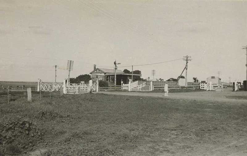
Sydnenham station 1890s
Sydenham
Named after a suburb of London, Sydnenham was originally called Marrickville South, having been subdivided for residential development in the 1880s with the opening of the railway line. The station was to be known as Illawarra Road, but it was opened as Marrickville in October 1884, then changed to Sydenham seven months later because a new station on the planned Bankstown line went through the centre of Marrickville and would be called Marrickville. When the post office opened five years later, it was called Tempe Park and was not changed to Sydenham Post Office until 1964.
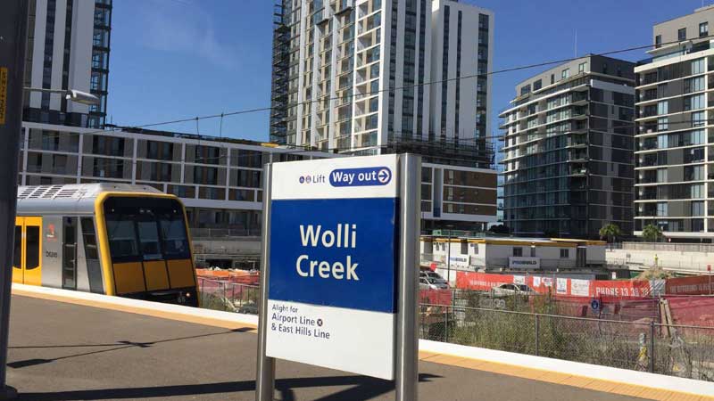
Wolli Creek
The joint Cronulla/Illawarra South Coast line intersects the Airport Line where it reaches the surface and becomes the East Hills line at Wolli Creek station. The Illawarra line crosses the Airport/East Hills line at a higher level. Building a station where two lines cross but on different levels gave the designers of Wolli Creek Station the opportunity to create something interesting visually, but they blew it by coming up with something that looks bitty and unfinished, though the foot links the two levels of platforms is easy to navigate and does work efficiently.
Wolli Creek station was built as part of the Airport line, opening on 21 May 2000, and did not exist on Cronulla/Illawarra South Coast line before that date. The station is located on a former industrial site and siding at Discovery Point near where Wolli Creek flows into Cooks River. Since the station's opening, the suburb has been significantly redeveloped with high density housing.
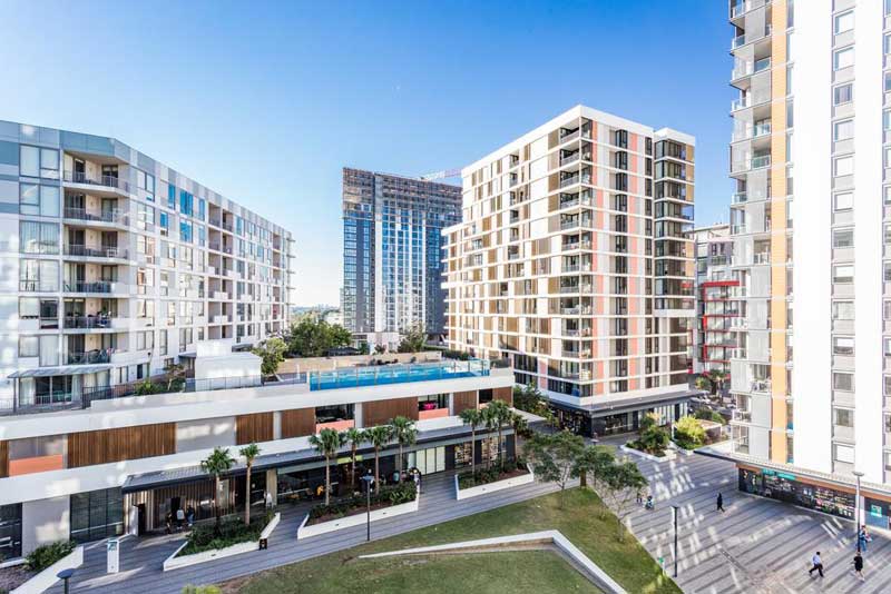
In the 1990s, low lying land at Discovery Point near where Wolli Creek enters the Cooks River was earmarked for high density residential development. Essential to the development was the construction of Wolli Creek railway station on the Airport Line. Since then, the area has been developed in accordance with the plan. Many of the residential towers in the development have been completed, and the units within sold and now occupied, as is the piazza-style Village Square. Facing Cooks River is Discovery Park, which features a BBQ area and childrens' playground.
Arncliffe
The first land grants on the western site of what would become the Parish of St George took place in the early 1820s, with large plots of land being granted to various people. None of these early land grants were occupied by their owners. Arncliffe takes its name from one of these land grants, a lot of 100 acres around today's Turrella station, made to Reuben Hannan in 1825, who named his property after his birthplace in Yorkshire, England. Hannan was one of 197 male convicts on the Admiral Gambier who were being transported to the colony with a detachment of the 73rd Regiment. Hannan married the first white child born in Campbelltown, was Government Overseer of Brickmaking.
In 1825 (though not confirmed until 1833) David Hannan purchased a lot of 60 acres of land at auction which was located to the south east of his father’s lot. David and his wife Mary (nee Masterson) were the first European residents of Arncliffe. Following his marriage to Mary, Hannan constructed a house on his property and ran livestock such as cattle, pigs and poultry. The name for the area was suggested by surveyor, estate agent and lithographic printer William Meadows Brownrigg. Development in the suburban area south of Cooks River was slow as access across the swamps between Arncliffe and Sydenham was initially difficult.
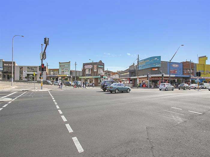
The arrival of the railway in 1884 heralded a decade of strong development, with the area changing from farmlands to residential suburbia. Arncliffe Railway Station was built on a duplicated line from Illawarra Junction to Hurstville. It was designed as the first major station on the Illawarra Line southwards from Sydney and was one of the most substantial stations of eight built in at the time of the lne's opening, reflecting the importance of the locality. New residential lots were carved out in rapid succession, radiating out from the arterial railway line. Previous focus on rural land use was no longer a decisive factor in the value of the land. Subdivisions were now advertised in terms of their proximity to the railway, and in particular, Arncliffe station.
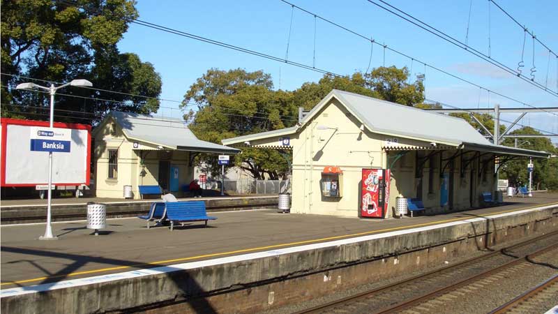
Banksia
The name Banksia was suggested by David Stead, father of novelist Christina Stead, to honour Sir Joseph Banks, a botanist on the Voyage of Discovery of James Cook which visited the nearby Botany Bay in 1770. Though there is no actual record of Banks having passed through the area during his visit, it is known he made numerous treks inland from both Botany Bay and the Cooks River, so it is likely that he did.
The locality that bears his name was originally part of a large property owned by Simeon Pearce and his brother James, which extended south to Rocky Point and was occupied for years by timber getters. The railway came through the area in 1885 but a station was not opened until lobbying by residents forced the issue in October 1906. Banksia is today mainly residential with a few commercial developments. It features mostly low density houses and some medium density blocks of flats. Banksia shopping centre consists of a small group of shops on Railway Street beside Banksia railway station.
Rockdale
Hilly and heavily wooded in the early days of colonial Sydney, Rockdale was opened up to farmers after the timber cutters had been through and the new Wollongong Road to its north had been built and established as the main route to the Illawarra. As with the whole St George area, Rockdale flourished as a residential area following the arrival of the railway in 1884. The farming community here had been known by numerous names - Frog Hollow; White Gum Flat and West Bexley before the present name was selected and gazetted. Rockdale was suggested by resident Mary Ann Geeves, describing a particular hollow surrounded by rocky outcrops.
Rockdale station is unusual in that it initially provided a rail connection for coal transfer and passengers for Saywell's Private Tramway. This was originally a steam powered tramway operation, which began running from Rockdale to Brighton on Botany Bay from 1885 and to Sans Souci in 1887. The steam trams were converted to electricity in 1899. In 1937 the tram service from Rockdale to Sans Souci was replaced by a trolley bus service, and a tramway to Brighton closed in 1938.
In 1907, Rockdale's northbound platform was converted to an island with a new southbound track. The former southbound track (currently Platform 4) became the northbound track, with the former southbound platform (current Platform 3) becoming a refuge siding.
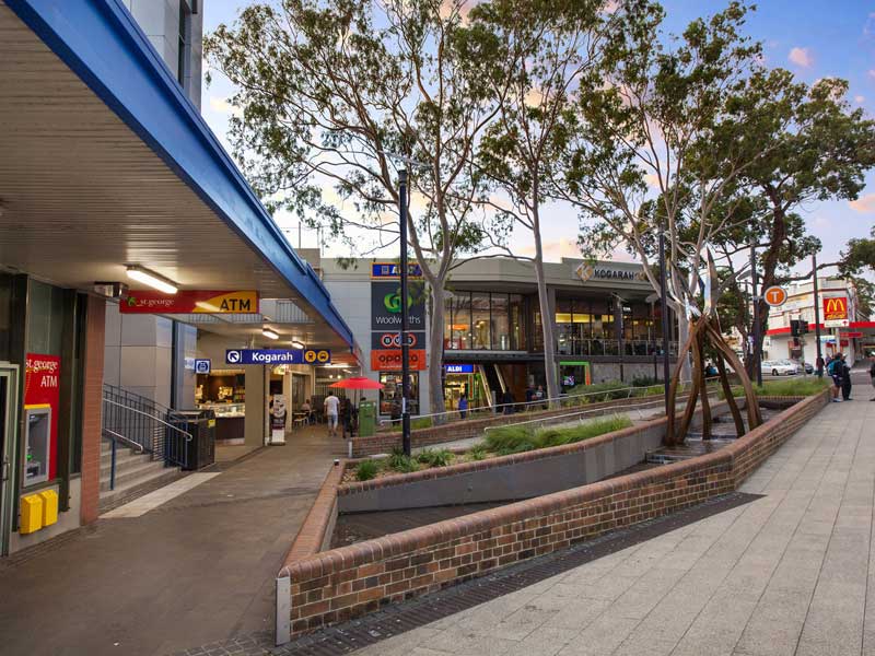
Kogarah
During the 1850s a small farming community sprung up in the Kogarah area after timber getters had gone through. The Kogarah Public School was completed in 1876. Residential development was slow until the arrival of the railway in 1885, when major subdivision took place and land sales boomed. Electricity arrived in 1923. The namw derived from the Aboriginal word "coggera" or "cogerah" meaning "rushes". The name was originally applied to what is now known as Rushcutters Bay.
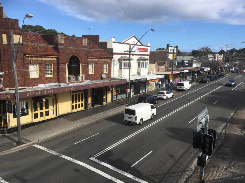
Carlton
Up until the arrival of the railway in 1884, Carlton was a patchwork of farms on land cleared of forest some decades earlier. The train did not stop at Carlton and in order to make it happen, the developers offered free blocks of land here to everyone who donated £400 towards the cost of building a platform and station buildings. It was this "generous offer" of free land that prompted the use of the name Carlton. The settlement got its station in 1889. By the turn of the century it had developed into a desirable residential area. Carlton is named after a suburb of Nottingham in England meaning "a village of free men".
Allawah
Allawah is an Aboriginal name meaning 'make your abode here' - said to be a name used by an Aboriginal tribe living around Botany Bay. An area of cleared forest until the 1890s when the railway came through, its railway station was not built until October 1925 when the local population had grown to such a degree that a station was deemed necessary between Carlton and Hurstville.
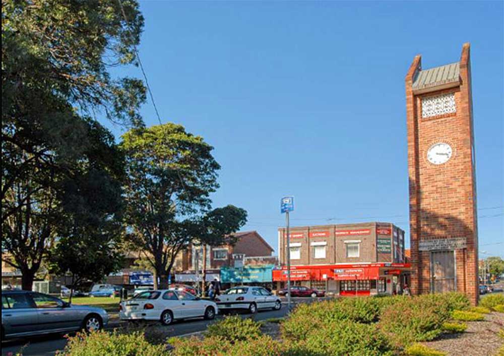
Hurstville
The name Hurstville is combination of two English nomenclature terms; 'hurst', meaning 'a wooden eminence', and 'ville', a town. The name was suggested by a school inspector when consideration was being given to establishing a public school in 1876. There is a town in Lancashire, England, of the same name, and it has been suggested that the Sydney suburb was named after it, however this has not been substantiated.
The whole of the St George area was heavy wooded when the First Fleeters followed the Aboriginal tracks through the area and discovered the Georges River. Logging activity commenced in the early 1800s and continued for many decades until most of the land was cleared. Hurstville began life as a logger's camp on Forest Road, its water supply being nearby marshy ground which was later reclaimed to form Woodville Park. Known as Lord's Forest, and later Gannon's Forest, by the time the railway arrived in the area in the 1880s, it was a sizeable village. Hurstville soon became the main station on the line in the St George district. Today, Hurstville is home to one of the largest Chinese communities in Australia.
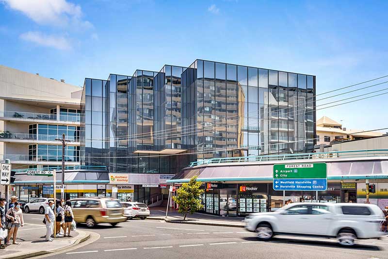
Hurstville station opened on 15 October 1884 on the terminus of the Illawarra railway line from Redfern. On 26 December 1885, the line was extended to Sutherland. When the line was quadruplicated in 1925, the station was rebuilt with two island platforms. A siding, no longer used, was also built to service a suburban parcels office. In 1965, the air rights above the platforms were covered by the Hurstville Super Centre shopping centre, one of the first suburban stations in Sydney to receive such treatment of its overhead airspace. The original station buildings survived underneath until demolished during refurbishment in the early 1990s. The centre was refurbished in 2008 and rebranded Hurstville Central.
Penshurst
Penshurst occupies part of Robert Townson's grant of 1808 which extended from Forest Road to the Georges River. John Connell took possession of the property in 1830, his name being remembered in Connells Point in Penshurst's south. When subdivided into small farms in 1869, the western part was bought by Thomas Mort and became Mortdale. The eastern section was called Connell's Bush until the arrival of the railway in 1886.
When a platform was built here, it was named Penshurst. From that time the new name was used in preference to Connell's Bush, which was not considered suitable to a developing residential area. It is not known what prompted the selection of the name, however it has been noted that Penshurst in Kent, after which it was named, has the same mystic quality of Sydney's Penshurst when the southerlies blow a sea mist across Oatley Bay in winter.
Mortdale
Dr. Robert Townson (1763-1827) was the first land grantee. Thomas Sutcliffe Mort then took over his land and sublet sections to farmers. In 1894, an orchard and a farm here were subdivided and the land sold for residential development. They sold well and further subdivision took place in consequence to the opening of Mortdale Station in March 1897, however it was the establishment of houses for returned soldiers of World War I in the 1920s that brought the biggest influx of new residents. Mortdale was named after businessman and early landowner, Thomas Sutcliffe Mort. Though the name means "Death Valley", no one who lives there seems to care or has made any effort to have the name changed.
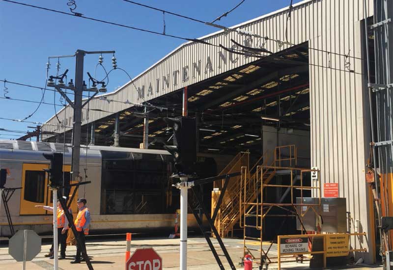
Along the formation of the original line approximately half a kilometre south of the station, the Mortdale electric car sheds were built in 1925. These were the first electric car sheds to be used on the suburban system, part of a group built under the Bradfield electrification plan, including Hornsby, Flemington and Punchbowl (now closed). In their original form, the Mortdale electric car sheds had a distinctive saw-toothed roof. Just north-east of the car sheds there was a siding to access Judd's Hurstville Brick Works to the east. The Mortdale sheds have been extensively redeveloped over time, and the facility, now known as the Mortdale Maintenance Centre, is essentially a modern complex.
Oatley
Oatley is named after James Oatley, a convict clock maker. As a convict, Oatley erected the clock still in use on the front of Hyde Park Barracks. After being pardoned, Oatley was granted and acquired various tracts of land in Sydney's south, among them was what is now the suburb of Oatley, a 175 acre grant which he received in 1831. Oatley called it Needwood Forest, after woodlands in his native Warwickshire, England. He never lived here, choosing instead to build his home near Beverly Hills. When the railway came to Oatley in the 1880s, it was decided to name the station here after him, though his property had been sold and subdivided by his son some years earlier.
Oatley station was once in the middle of the suburb but it had to be moved. Train drivers found that the grade up the hill from the original Como Bridge to Mortdale was too steep for fully loaded coal trains. A deviation was built around the centre of Oatley in 1905 to reduce the grade for Sydney bound trains to a maximum of 1 in 80. Oatley station was moved from its original position between Oatley Parade and Oatley Avenue to it present location on the deviation. The route taken by the original line is still clearly visible at the Oatley end of the bridge. The walking path to the bridge follows the path of the original line.

Como Pleasure Grounds, George River foreshore
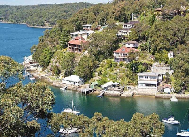
Como
Como / Como West - named after Lake Como at the foot of the Bernese Alps in Italy. It is believed to have been thus named by James Murphy, who was manager of the Holt-Sutherland Estate Land Company, the man responsible for building Como House and the Como Pleasure Grounds. The pleasure grounds developed as a very popular resort after the completion of the railway and erection of a railway platform at the end of the Como Bridge across the Georges River in December 1885. Some street names are of Aboriginal origin; others recall places in Italy, from which the suburb's name originates.
Before the railway line was built, the area was in originally known as Woronora with the first local post office opening on 16 May 1883 followed quickly by the local school on 16 April 1884. The original single-track Como Railway Bridge spanning the Georges River began service with the opening of the railway station at Como on 26 December 1885. Upon opening of the railway bridge, Como immediately became a popular weekend retreat for city folk with the natural beauty making it particularly popular with holiday makers with trains reported as being overcrowded on their first day of service.
Como bridge takes the Illawarra railway line across the Georges River between Oatley and Como. The original bridge, opened in 1886, remained in use until 1972 when the new double line, pre-stressed concrete structure alongside it was completed and began taking rail traffic. The old bridge was saved from demolition as it carries the pipeline from Woronora Dam to the reservoirs at Penshurst, a function that commenced in 1945 and continues today. The bridge is today used as a footbridge and cycleway.
Jannali
Jannali, from an Aboriginal word meaning 'beautiful moon', was name given when the Railway Station was opened in 1931. Jannali remained virtually undeveloped until the railway station, financed jointly by Council and the Department of Railways, was opened. Although the railway was already electrified, with regular services to Sydney, it grew slowly as a commuter suburb. In the 1950s, extensive public and private housing estates were built, stimulating construction of shopping and other facilities.
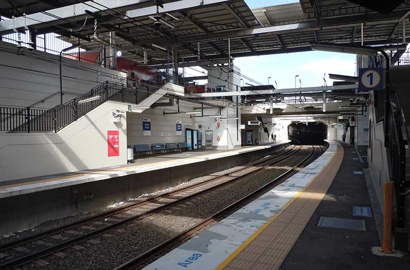
Sutherland
It is a common belief that the parish, township and shire of Sutherland were named after Forby Sutherland, a sailor with Lieut. James Cook's Endeavour who died and was buried at Kurnell, which is within the shire's boundaries, in 1770. This is not so - historical records show that in 1835 Sir Thomas Mitchell named the first parish south of the Georges River the Parish of Southerland, presumably because it was the most southerly parish of the Sydney region. The "o" was accidentally left out when the name was gazetted, leading some to believe that Mitchell came up with the name of Sutherland. To further cloud the issue, the railway station appears to have been named after John Sutherland, Minister for Works 1860-1872, who was the driving force behind the extension of the railway line across the Georges River to the Parish of Sutherland. The township which grew up around it took its name from the station. The railway link opened in December 1885.
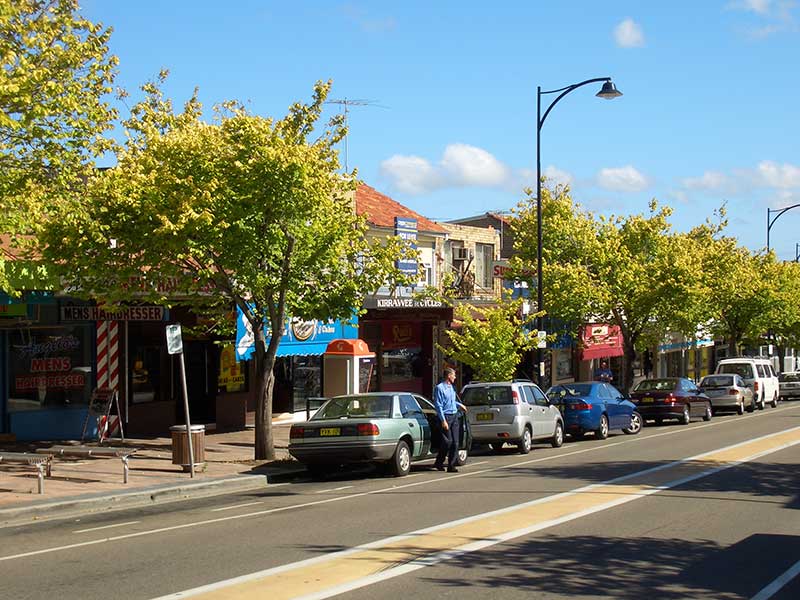
Kirrawee
The Kirrawee is derived from an Aboriginal word meaning 'lengthy'. The name was adopted in 1939 with the opening of the railway line. A postal receiving office in the locality was known as Bladeville. It was operated from the home of Mrs. Louisa Blade, was opened in 1909 and closed in 1915 when a letter delivery commenced from the Sutherland Post Office.
Gymea
Gymea of Aboriginal origin, is the name for the tall, red-flowering native lily which used to be prolific in the area. The name was first recorded by WAB Greaves, a government surveyor when he went through the area in 1855. Gyme, on Port Hacking, developed slower than surrounding suburbs, and its development as a residential area did not pick up pace until the Sutherland to Cronulla railway was opened in 1939.
Miranda
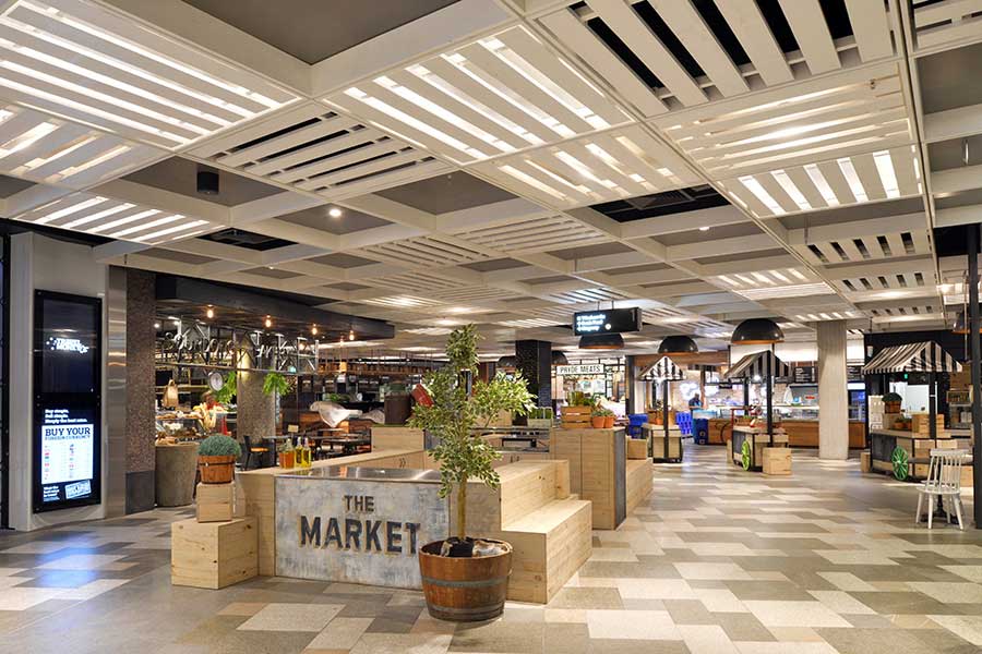
The name Miranda was selected by real estate developer James Murphy in 1881 for the name of a new estate. It is named after Miranda, a character in the Shakespearean play, The Tempest, because he thought the name "euphonious, musical and an appropriate name for a beautiful place". Murphy was a Sydney City Council Alderman and the Mayor of Sydney in 1860. Subdivided for residential development in 1881. Miranda Fair is one of the largest shopping complexes in Australia.
Caringbah
Caringbah was originally called Highfield but the name was changed with the opening of the Post Office in 1912. The origin of the original name is not known. The name Caringbah is an Aboriginal word for the Pademelon Wallaby. The area began to be developed from the 1880s, but until World war II remained largely small farms and orchards. A steam tram service between Cronulla and Sutherland brought public transport to Caringbah in 1911. Its route is followed by today's Cronulla railway branch line.
Woolooware
Like most locations along the Cronulla railway line, Woolooware is a name of Aboriginal origin, derived fro the word 'woolowa' said to mean 'a muddy flat'. It first appeared on a map drawn by Surveyor Dixon in 1827 after an Aboriginal bush track of that name through the area which he followed. Originally thick forest, the area was cleared by timber getters in the latter part of the 19th Century. It was subdivided for residential development in the 1930s.
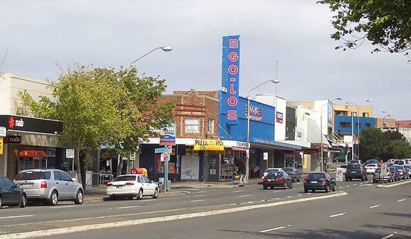
Cronulla
The origin of the name Cronulla has been lost in the myths of time. Two theories abound, the latter is the most likely - 1. Cronulla is the name given by local aborigines to an early settler, John Connell; 2. The native word for a small pink shell found on the beaches of Cronulla is Kurranulla. Cronulla remained an isolated beach until the turn of the 20th century when it was becoming popular as a holiday destination. The establishment of a steam tramway from Sutherland to Cronulla significantly boosted the latter's growth and popularity.
Bundeena Ferry
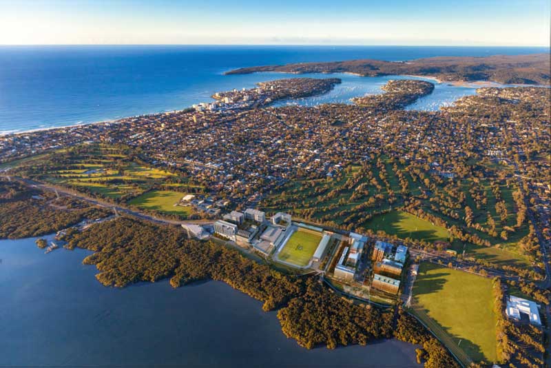
For visitors or localcs alike, Cronulla is a great destination for a day out, particularly in summer, Cronulla is the only Sydney ocean beach to have a direct rail service. Surfers looking for good waves but less crowds find Cronulla fits the bill perfectly. As well as surfing, Cronulla has other alternatives on offer. A walking path around the shoreline of the Cronulla peninsula from the railway station or Cronulla Park is pleasant and easy and when you've finished, there are plenty of restaurants and cafes offering everything from light refreshments to candle-lit dinners.
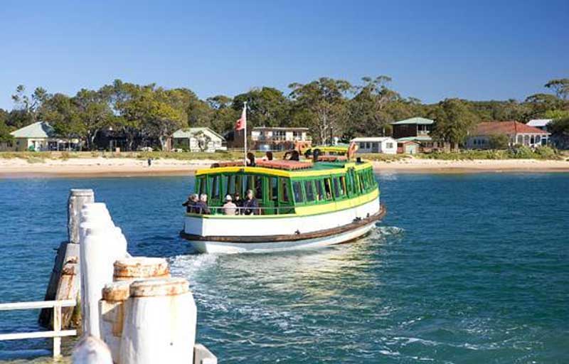
Bundeena
The village of Bundeena on the opposite shore of Port Hacking is a 20 minute (each-way) ferry ride from Cronulla, a slow paced village located in the National Park on the shores of Port Hacking opposite Cronulla. It is a great desination for a day or half day outing or as a base for adventurers wishing to explore the Park in detail. Bundeena began life as a fishing village and has managed to retain its rural charm thanks to its isolated position on the northern boundary of Royal National Park. Places to see include galleries by local artists, beaches on Port Hacking, Aboriginal rock art in Jibbon Headland and stunning vistas of the coastal cliffs of Royal National Park. The Bundeena ferry wharf is a short walk from Cronulla railway station.
Chronological History of the Illawarra Line
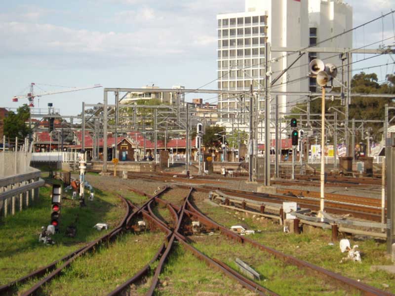
Illawarra Junction [nr Macdonaldtown] to Hurstville (12.6km) opened 15th October, 1884. Duplicated 1895. Sydney to Sydenham quadrupled 1912. This was the first section of the Illawarra railway, which connects Sydney to the Illawarra district. The original stations on the line were St Peters, Cooks River (Tempe), Arncliffe (Arncliffe Hill), West Botany (Rockdale), Kogarah and Hurstville.
Hurstville to Sutherland (9.8km) opened 26th December 1885. Duplicated 1895.
Sutherland to Waterfall (14.1 km) opened 9th March 1886. Duplicated 1895.
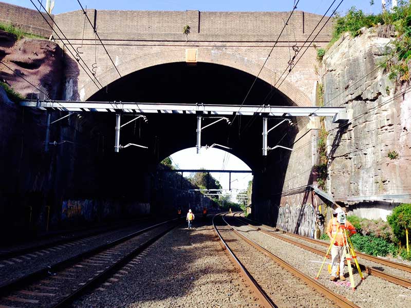
Waterfall to Coal Cliff (20.6km) opened 3rd October 1888. This section was by far the most demanding section of railway line built in Australia at that time, and included the cutting of 8 tunnels south of Helensburgh. Four tunnels were eliminated in 1915 when a section of the line was re-routed.
Waterfall to Coal Cliff (20.6km) opened 3rd October 1888.
Coal Cliff to Wollongong (19.2km) opened 21st June 1887
Coal Cliff to Clifton (4.4km) opened 23rd July 1888
Wollongong to Bombo (34.8km) opened 9th November 1887.
Bombo to Bomaderry (36.2km) opened 2nd June 1893.
Royal National Park Branch Line: Loftus to Royal National Park (1.9km) opened 9 March 1886. Closed 11th June 1991. Re-opened 1st May 1993.
Single track tramway line between Sutherland and Cronulla, with four stations and a goods siding, opened 12 June 1911
Tramway closed, 1932
New single track line opened 16th December 1939
3.5 kilometre section of the line between Gymea and Caringbah duplicated, with Gymea, Miranda and Caringbah all receiving island platforms. Opened 15th July 1985.
Eemaining single track sections duplicated, opened on 19th April 2010