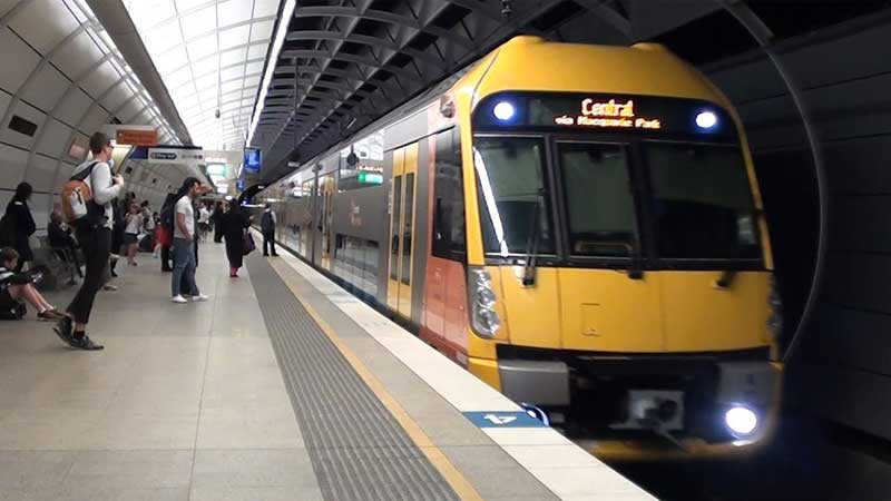
Northern Line, Sydney, NSW (T9)
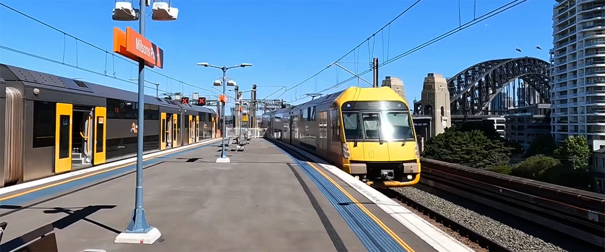
Note: The Northern Line (numbered T9, coloured red) serves some of Sydney's Inner West and Northern suburbs. It was spun off from the old T1 North Shore, Northern & Western Line as a separate line in April 2019, to distinguish and make it more easily identified from the other T1 services. It is also a reincarnation of the older Northern Line which was under operation until 2013. This train journey follows the original Main North Line between Strathfield and Hornsby via Epping.The Northern Line (T9, red) begins at Hornsby - a junction station with the North Shore Line. The line heads south to Strathfield via Epping using the Main North Line, crossing the Parramatta River between Rhodes and Meadowbank. At Strathfield, trains usually head onto a flyover over the 'Main lines', before heading east onto the Main Suburban Railway, usually using the middle 'Suburban' pair of the six tracks between Redfern and Strathfield. Trains pass through Redfern and Central, then through the western limb of the City Circle before heading across the Harbour Bridge. Then trains continue north along the North Shore before "terminating" at Gordon (although most services continue on to Hornsby).
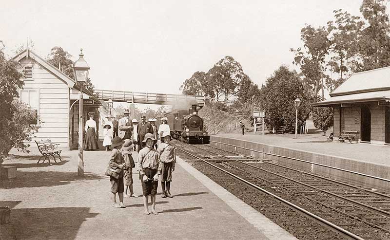
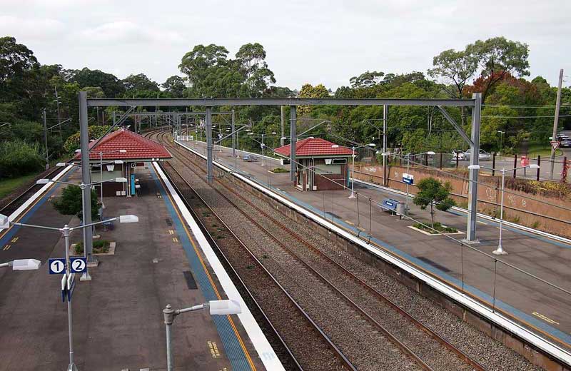
Pennant Hills station, 1902
The Main North Line
The Main North Line (also known as the Great Northern Railway) runs through the Central Coast, Hunter and New England regions. The line was the original main line between Sydney and Brisbane, however this required a change of gauge at Wallangarra. The line starts as a branch off the Main Suburban line at Strathfield in Sydney. The line heads north to Rhodes, crossing the John Whitton Bridge over the Parramatta River. After passing through the northern suburbs of Sydney, the line crosses the Hawkesbury River Railway Bridge, where it enters the Central Coast.
The first regional section of the Main North line was built in 1857 from the port of Newcastle to East Maitland as the Hunter River Railway Company's line. The line was then extended to Victoria Street, Maitland in 1858. It was extended to Singleton in 1863, Muswellbrook in 1869, Scone in 1871 and Murrurundi in 1872. As of 1988, the line closed progressively north of Armidale with services gradually withdrawn till 2004, with the main route between Sydney and Brisbane now the North Coast line.
The line from Strathfield to Hornsby was opened in September 1886. In 1892, that section of line was duplicated, and electrified in 1926 as part of the Bradfield electrification scheme. The line was further electrified to Gosford in January 1960, Wyong in April 1982 and Newcastle in June 1984. Freight trains were hauled by electric locomotives until March 1998.
The difficult topography of the route and the very large and technically demanding crossing of the Hawkesbury estuary somewhat to the north of Meadowbank, are the obvious explanations for the delay in connecting the two largest population and industrial centres in the colony. The connection was completed on 1st May 1889 at Hawkesbury River, but the line though Meadowbank had been opened about three years before, on the 17th September 1886.
This train journey follows the original Main North Line from Strathfield and Hornsby via Epping.
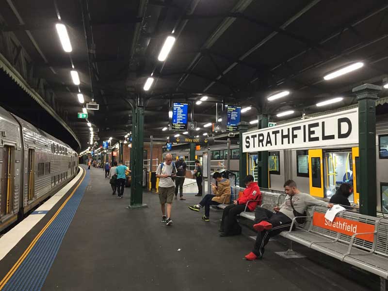
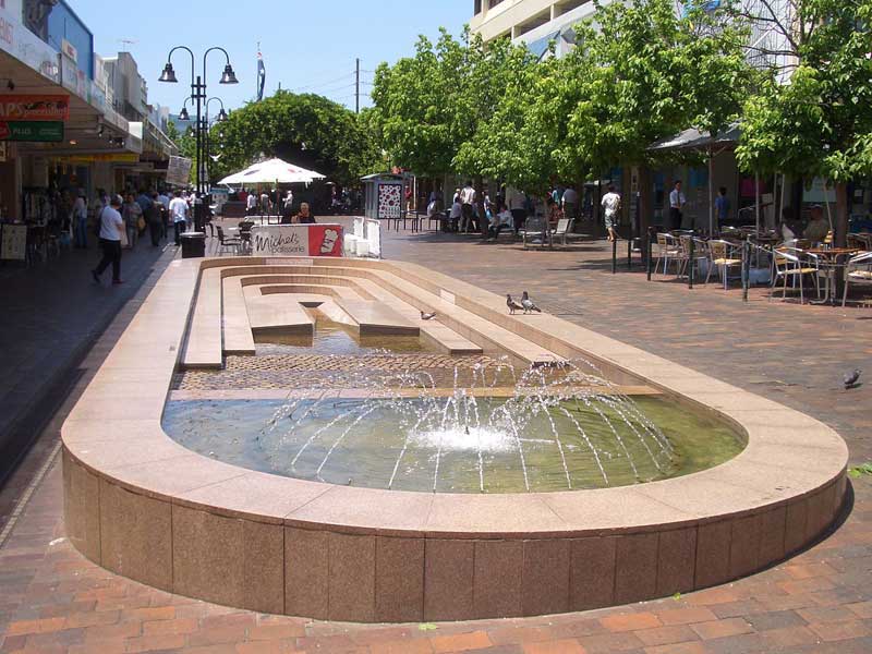
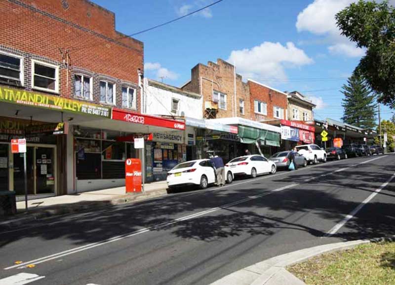
Strathfield
Strathfield is a suburb and regional centre in Sydney's Inner West, some 14 kilometres west of the Sydney central business district. Being at the junction of the Northern and Western railway lines, Strathfield station is one of the more significant stations on the western line, and one of the few suburban stations were interstate and country trains stop. In the early 1900s, grand mansions were constructed here and in neighbouring Burwood as the country homes of wealthy merchants, many of which have been recognised for their historic value.


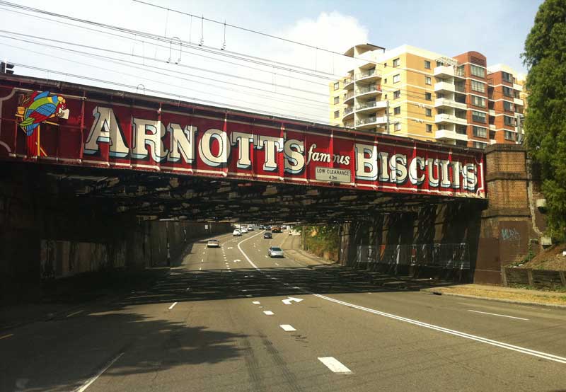
North Strathfield
North Strathfield is a suburb in the inner-west of Sydney, located 15 kilometres west of the Sydney central business district. Strathfield and Strathfield South are separate suburbs, to the south. The western part of this suburb was originally part of Homebush, while the eastern part was part of Concord. Because it was bisected by the Main North railway line, with easy access to the major arterial road Parramatta Road as well as to Parramatta River, the area became largely industrial in the early 20th century. Arnott's Biscuits moved its factory to Homebush in 1908. Centred on George Street with direct access to the railway, the factory expanded over time and eventually covered a large portion of the present-day suburb of North Strathfield. The railway bridge immediately south of the Arnott's Factory site is a well known landmark and has carried an advertisement for Arnott's since the 1930s, and is state heritage listed.
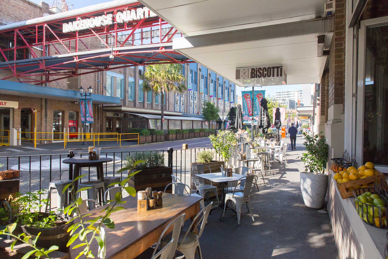
Bakehouse Quarter
With industry moving out in the late 20th century, North Straithfield has became largely residential. The suburb name of "North Strathfield" was gazetted in 1993, giving the area its own identity as a separate suburb. The Arnott's factory moved out in 1997, with the former factory site redeveloped into the "Bakehouse Quarter" retail and restaurant complex. More recently, many high density residential developments have replaced former industrial sites.
Thomas Walker Hospital, now Rivendell
Concord West
Concord and Concord West takes its name from Concord, Massachusetts, in the United States. It was the site of the Battle of Concord, the first military engagements of the American Revolutionary War (1775–1778). Some historians believe the suburb was named Concord, to encourage a peaceful attitude between soldiers and settlers. The first land grants in the area were made in 1793. Concord West is bordered on the west by Rhodes, Liberty Grove and Homebush Bay; to the south by North Strathfield and Homebush; and to the east by Concord, Breakfast Point, Cabarita and Mortlake.

Rhodes
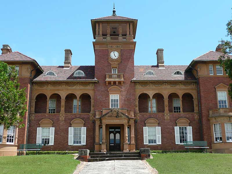
Rhodes sits on a peninsula between Bray Bay and Homebush Bay, on the southern bank of the Parramatta River and is located about 3 kilometres from Sydney Olympic Park. Since 2016, Rhodes has been connected to the residential suburb of Wentworth Point, on the western side of Homebush Bay, by the Bennelong Bridge. The western section, west of the railway line, features new developments on the former chemical and industrial sites, and includes: the Rhodes Waterside Shopping Centre; many new (2007) apartment blocks; and a public foreshore walkway with two small parks.
Rhodes was named after the home of an early resident, Thomas Walker (1791–1861), which was built on the north-eastern side of the peninsula. Walker named his property Rhodes after his grandmother's home, Rhodes Hall, in Leeds, England. The house was demolished in 1919, when the land was purchased by the John Darling Flour Mills, later owned by Allied Feeds Limited.
Sydney suburban train carriage manufactured by Tulloch Limited
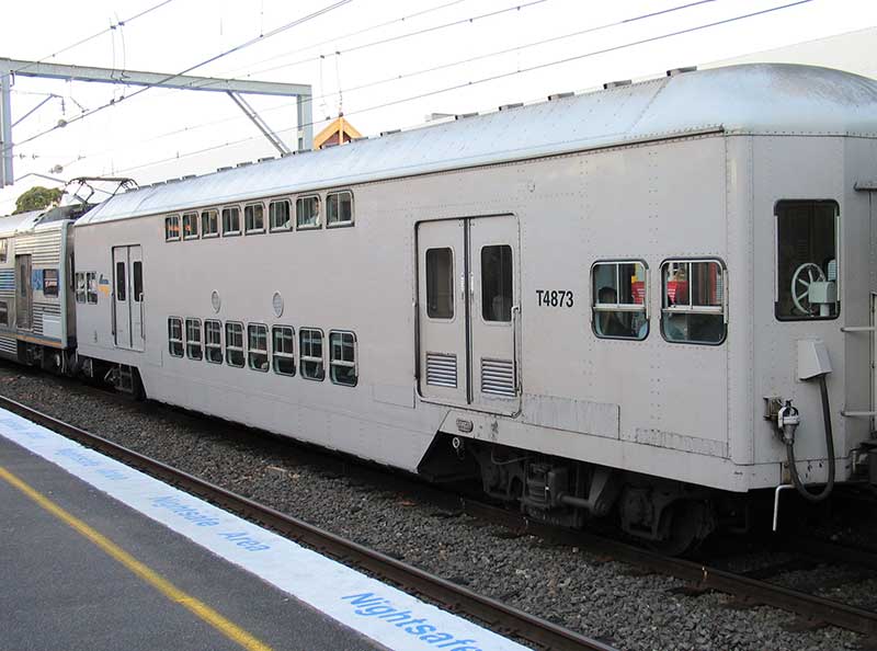
Industry came to the Rhodes isthmus in 1911. The main manufacturers were Berger Paints, CSR Chemicals, Union Carbide, and Allied Feeds. Tulloch Limited Phoenix Iron Work was located between the railway line and Concord Road, south of Mary Street. Tullochs manufactured rolling stock for the New South Wales Government Railways. They gave their name to Tulloch Avenue and Phoenix Avenue. Their factory is now the site of the Hewlett Packard offices in Sydney.
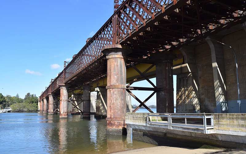
John Whitton Railway Bridge
The John Whitton Railway Bridge takes the Northern Line across the Parramatta River. The bridge's name recalls its designer, John Whitton, the designer of this bridge and Engineer-In-Chief of the New South Wales Railways. Often referred to as the Meadowbank Railway bridge, it is a six span wrought iron lattice girder bridge. The wrought iron structure and cast iron cylinders were fabricated in England and shipped out to Australia, and the above-track sections were locally made steel lattice trusses. Opened in September 1886, the bridge was erected by local contractor Amos Bros. at a cost of 69,000 pounds. Its use as a railway bridge ended in May 1980 when it was superseded by a parallel box girder bridge.
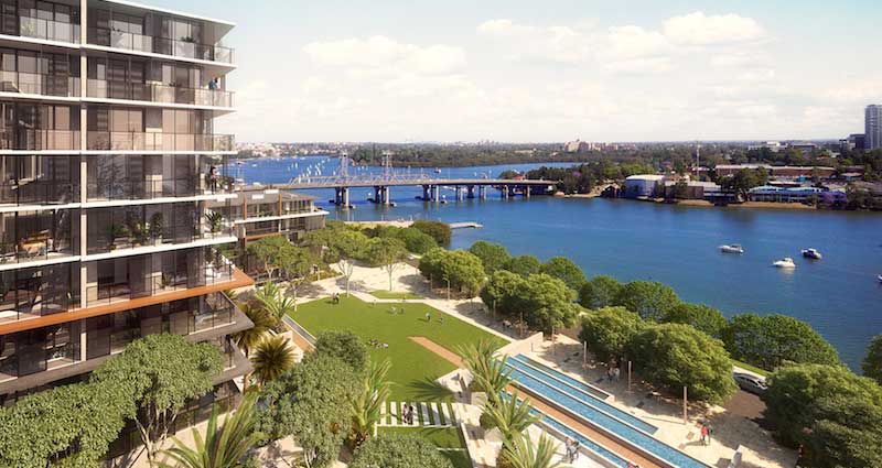
Meadowbank
The suburb of Meadowbank sits in a valley on the northern bank of the Parramatta River. Meadowbank has a ferry wharf on the Parramatta River, serviced by the Parramatta RiverCat Ferry. The former industrial area of Meadowbank and South Ryde, centred around Shepherds Bay, has been transformed into a high-density hub. The project provided 3504 new homes, bringing an estimated 10,000 new residents to the shores of the picturesque bay on Parramatta River.
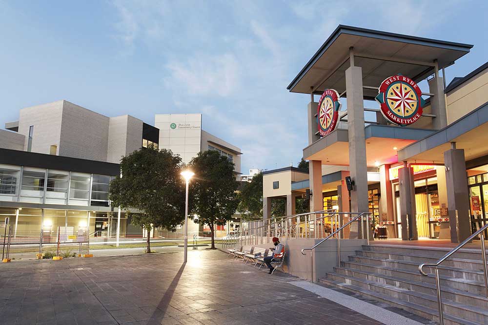
West Ryde Marketplace
West Ryde
West Ryde is an extension of Ryde, which was named after the 'Ryde Store', a business run by G.M. Pope. He adopted the name from his birthplace of Ryde on the Isle of Wight, UK. West Ryde is one of 16 suburbs that form the City of Ryde, which occupies most of the land between the Parramatta and Lane Cove rivers. It is bisected from west to east by one of Sydney's busiest roads, Victoria Road.
In the 1880s, with the building of the railway line from Homebush to Hornsby, some estates were subdivided along its route. Landowners sold parcels of their estates to the colonial government and by 1883 construction was well advanced. The Meadowbank Railway Bridge across the Parramatta River was completed in August 1886 and was followed by the opening of a single line track from Strathfield to Hornsby on 17 September 1886. Ryde (now called West Ryde) was one of the seven initial stations on line and one of only two that were built of brick. The new railway platforms at both West Ryde and Eastwood did not initially service commuters, as they were for freight. A bus interchange sits adjacent to the station.
Denistone
The residential suburb of Denistone is located 16 kilometres north-west of the Sydney central business district. Denistone West and Denistone East are separate suburbs. Denistone is derived from the name of a home built in the area called Dennistone. The Wallumedegal Aboriginal tribe lived in the area between the Lane Cove River and Parramatta River, which was known as Walumetta. Gregory Blaxland, a free settler, purchased the 182.1-hectare (450-acre) Brush Farm estate in 1806, shortly after his arrival in the colony. This estate covered most of the area south from Terry Road to Victoria Road and Tramway Street, and east from Brush Road to Shaftsbury Road.
Eastwood
Originally thought to have been inhabited by the Wallumedegal Aboriginal tribe, who lived in the area between the Lane Cove and Parramatta Rivers, the area was first settled by Europeans shortly after the arrival of the First Fleet in 1788, from land grants to Royal Marines and NSW Corps, and was named "Eastwood" by an early Irish free settler, William Rutledge. Today it is a large residential area with over 14,000 people, serviced by a large shopping area. Eastwood today has a large population of Asian descent with immigrants from China transforming the commercial precinct in the past decade. To the north, Eastwood is bounded by the transport hub of Epping and to its east, Marsfield.
Eastwood is famous for the Granny Smith apple, accidentally first grown in the district by Maria Ann Smith. Every October, the oval and cordoned-off streets become the grounds for the annual Granny Smith Festival, a celebration of the icon with fairground rides, market stalls, street theatres, parades, an apple-baking competition and a fireworks spectacular at the Upper Eastwood Oval.
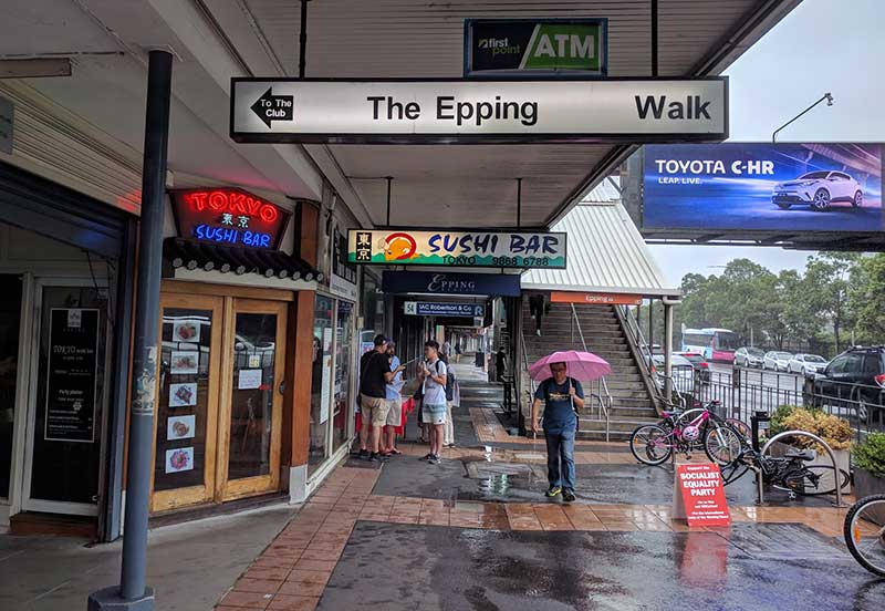
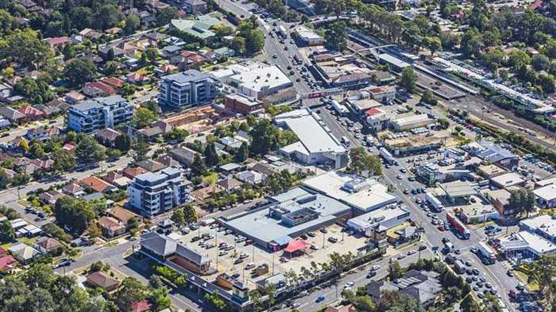
Epping
The predominantly residential suburb of Epping is 18 kilometres north-west of the Sydney central business district. The Wallumettagal Aboriginal tribe lived in the area between the Lane Cove River and Parramatta River in pre-colonial times. In 1792, Governor Arthur Phillip began the granting of parcels of lands to marines, and the area was referred to on Phillip's maps as the Field of Mars, Mars being the Roman god of war, perhaps because of the increasing number of skirmishes with the indigenous population. It contained the area of what is now Epping, along with the surrounding suburbs of Ryde and Marsfield. In 1899 the newly developing suburb was named Epping following the suggestion by a local landowner William Midson (1849–1924), after a town near Epping Forest in Essex, where his father was born.
Epping railway station was opened on 17 September 1886, originally named "Field of Mars", and quickly renamed to "Carlingford" on 5 April 1887. The Post Office was opened on 16 October 1889, originally named "East Carlingford". Epping railway station is a junction station on the Northern Line of the Sydney Trains network, the Central Coast & Newcastle Line of the NSW TrainLink network, and the new rapid transit Sydney Metro Northwest since its opening on 26 May 2019.
Bus services are operated by Busways and Hillsbus. The M2 Hills Motorway runs along the northern border to the Sydney CBD. Epping Road is a major arterial road in the area that runs east from the railway station to the Pacific Highway.
Cheltenham
Cheltenham is small residential suburb with a distinctive English atmosphere, with a number of 19th Century mansions on tree-lined streets. Cheltenham shares its postcode of 2119 with Beecroft and has sometimes been viewed as simply part of that suburb. Most residents of Cheltenham see themselves as distinct from Beecroft, although local issues are addressed together in the Beecroft Cheltenham Civic Trust.
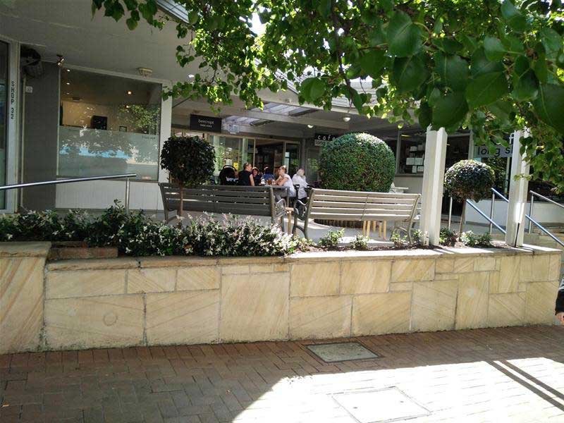
Beecroft
Beecroft was orchard country before its suburban development. The railway arrived in 1886 and Sir Henry Copeland, Minister of Lands, conducted a survey of the area to determine its suitability as a residential area. He named the suburb after the maiden name of his two wives, Hannah and Mary Beecroft, (two sisters he married in succession). Their names are also remembered through the respective naming of the suburb's east-west streets; Hannah Street, Copeland Road and Mary Street. The bushland and amenity of Beecroft has been largely preserved due to the efforts of the Beecroft Cheltenham Civic Trust which has been very active since its inception in 1958.
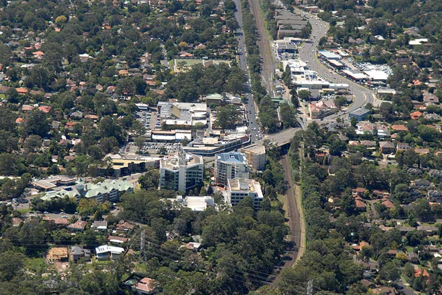
Pennant Hills
Pennant Hills, located 25 kilometres north-west of the Sydney central business district, is considered to be part of the Hills District. Pennant Hills is one of the major commercial centres of Hornsby Shire, along with Epping, Carlingford and Hornsby. Pennant Hills Road is one of Sydney's major thoroughfares. Bus services by Shorelink and Hillsbus have their terminus in Pennant Hills and run to West Pennant Hills, Castle Hill and Cherrybrook.
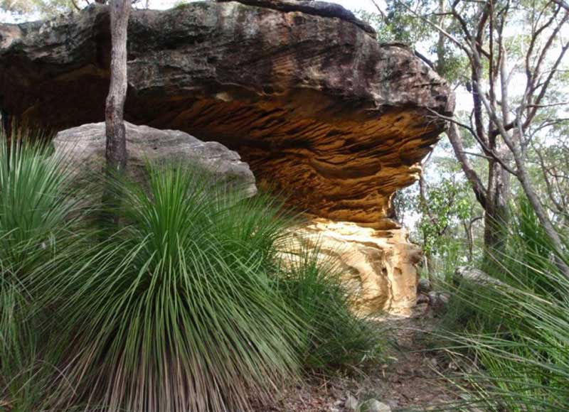
Pennant Hills Park is surrounded by beautiful bushland. Its 430 ha of parkland are located in the upper catchment of Lane Cove River Valley. Another favourite bushwalking spot is Bidjigal Reserve, an extensive nature reserve which falls within the original Baulkham Hills Common that was set aside for grazing cattle in 1804. Incorporating Eric Mobbs Recreational Reserve, Darling Hills State Forest, Don Moore Reserve and Ted Horwood Reserve, it follows Darling Mills Creek and its tributaries through the suburbs of Castle Hill, Baulkham Hills, Carlingford, North Rocks and Northmead. A number of walking paths give access to the heart of what is the largest remnant of natural bushland in the area.
Thornleigh
Thornleigh was originally part of the land occupied by the Kuringai Aboriginal people. The first non indigenous people to explore the area of Thornleigh were a party led by Governor Arthur Phillip in 1788. Settlers moved into the area in the 1830s and among them were James Milson, Patrick Duffy, John Thorn and Samuel Horne. Thornleigh is named after Constable John Thorn, who, along with Constable Horne, captured bushrangers Dalton and John MacNamara, leader of the North Rocks gang, on 22 June 1830, and were granted land as a reward in 1838.
Orcharding was one of the major mainstays of Thornleigh during the late nineteenth century. Thornleigh railway station opened on 17 September 1886 where the local produce (mainly citrus fruits) was exported to the city markets. Fruit grown at Thornleigh was also being exported as far as Vancouver and San Francisco. After the arrival of the railway, the district was progressively subdivided into suburban lots.
Normanhurst
The residential suburb of Normanhurst is 23 kilometres north-west of the Sydney central business district. The railway station - originally known as 'Hornsby' - opened on 21 November 1895, but the name was changed by the local community to Normanhurst in 1900. Both the east and west sections of Normanhurst have extensive bush access. The western side of the suburb backs onto the southern reaches of the Berowra Valley, a continuous section of bush stretching all the way to Broken Bay. This gives Normanhurst a very "leafy" and rural look. This in turn contributes to making native bird life abundant. The area is home to cockatoos, rainbow lorikeets, kookaburras, noisy miners, native brush turkeys, and powerful owls. Additionally, Normanhurst has several small waterfalls, which promote reptile and marsupial life.
Hornsby
Built as a station on the main north line from Strathfield to the Hawkesbury River, it opened on 17 September 1886 as Hornsby, but was renamed Hornsby Junction on 1 November 1894 after it became a junction station with the opening of the North Shore line to St Leonards.
Hornsby has long been associated with Ginger Meggs, a cartoon by Jimmy Bancks who grew up in Hornsby, which has appeared in Australian newspapers since 1921.
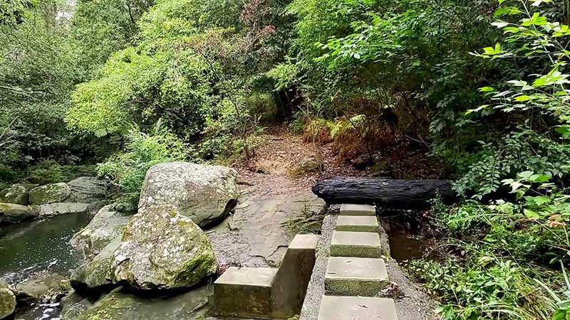
Callicoma Track
Hornby is surrounded on nearly all sides by virgin bushland. Within the Hornsby Shire there is over 6,000 hectares of public bushland and 174 Parks including 134 playgrounds and 12 garden parks. The Great North Walk track, which links Sydney and Newcastle, passes through Hornsby, It has been designed for people of all ages and levels of experience.