The Port Melbourne railway line – now a tram line - was the first significant railway in Australia, and was opened by the Melbourne and Hobson's Bay Railway Company, to carry passengers arriving in Victoria at Station Pier, and to alleviate the high cost of shipping goods using small vessels up the Yarra River to Melbourne.
By the 1960s, traffic to the port had dropped due to changes in cargo handling, and so in 1961, the branch to Princes Pier was reduced to a single track and worked as a siding, rather than a main line. Further rationalisations were made in December 1969, when the line from Graham to Port Melbourne was singled, with the Up track lifted, and the Up platform taken out of service. The signal box was also closed, replaced by a signal panel in a new station building, located on the Down platform.
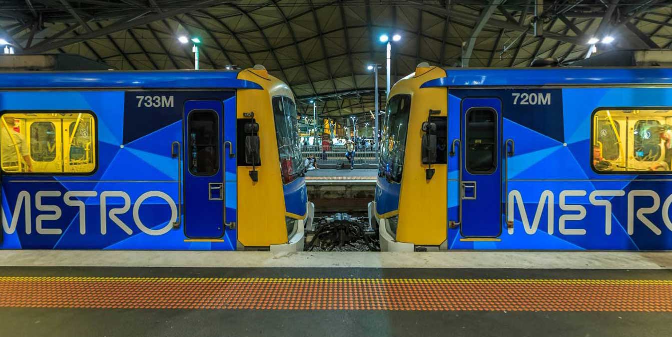
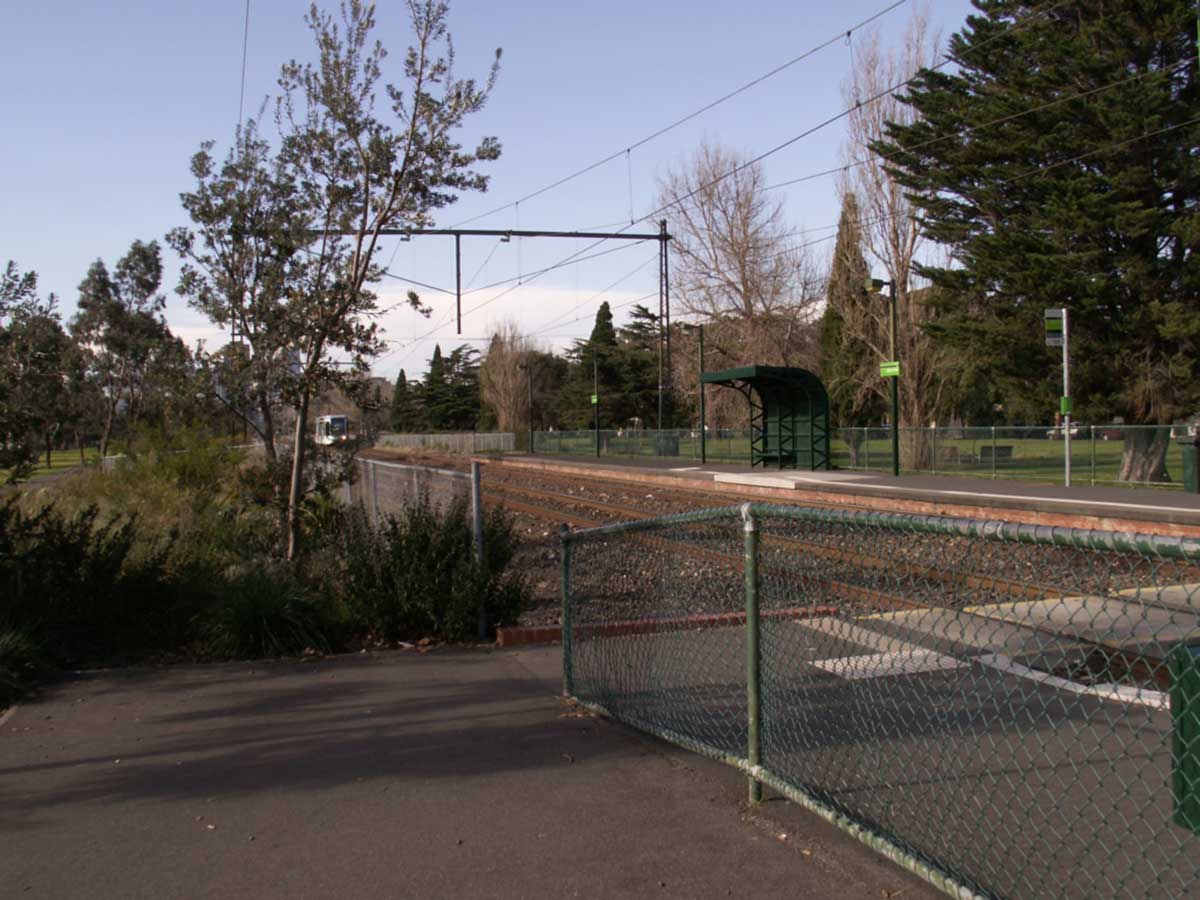
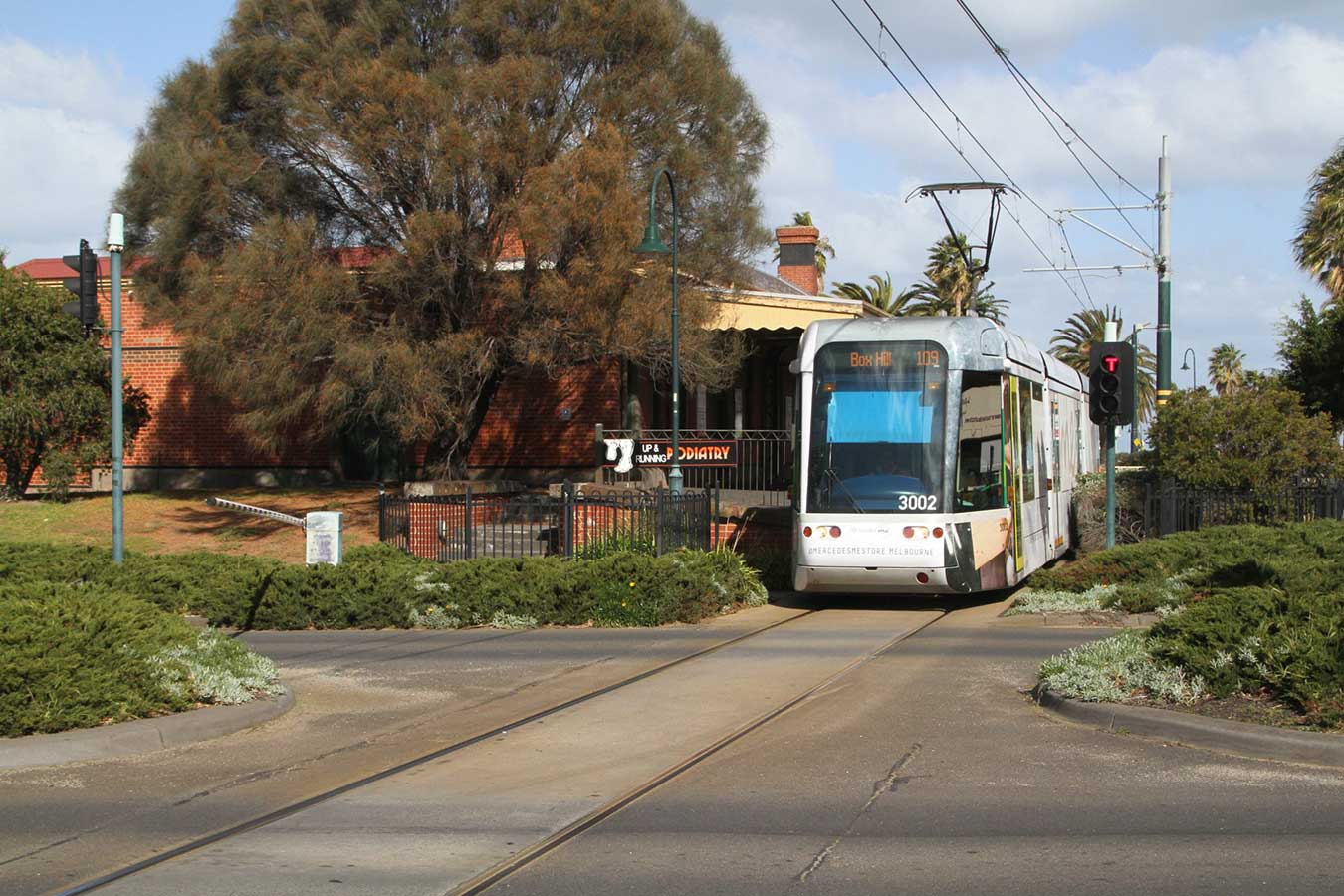
The last passenger train ran on 10 October 1987. Goods trains had continued to run through the station to Port Melbourne until at least September of that year. In 1987, the line was converted to light rail, and it is now served by tram route 109, which operates between Box Hill and Port Melbourne.
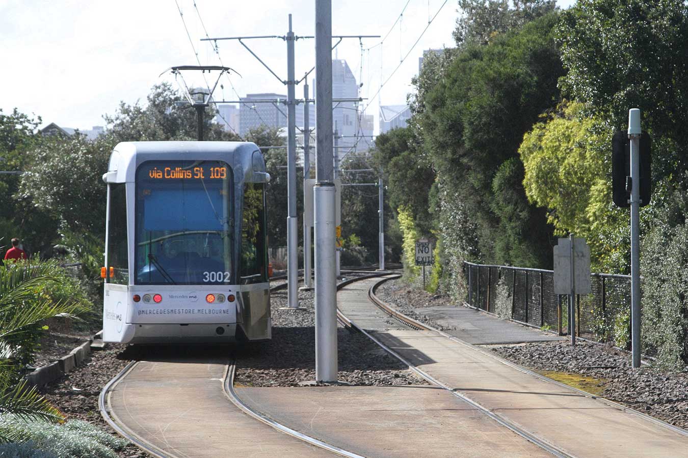
Melbourne tram route 109 now operates along the route. The section from Southbank Junction to Port Melbourne required conversion from broad gauge 1,600 mm (5 ft 3 in) used by the Melbourne rail network to 1,435 mm (4 ft 8+1⁄2 in) standard gauge tram track, as well as reducing the overhead voltage from 1,500 V DC to 600 V DC required for the trams. Additionally, low level platforms were built on the sites of the former stations to accommodate the trams which contained steps to street level. Low floor trams have since been introduced to the route.

Above: Flinders Street Station c1854. Australia’s first railway. Sketch by S.T. Gill showing the first station buildings and the single line from Sandridge. Culture Victoria
Work began on laying the railway in March 1853, under the supervision of the company's Engineer-in-Chief James Moore. Trains were ordered from Robert Stephenson and Company, of the United Kingdom, but the first train was locally built by Robertson, Martin & Smith, because of shipping delays. Australia's first steam locomotive was built in ten weeks and cost £2,700.
The line was opened in September 1854 (three years after the discovery of gold at Ballarat) and ran for 4 km from the Melbourne (or City) Terminus (on the site of modern-day Flinders Street station), crossing the Yarra River via the Sandridge Bridge, to Sandridge (now Port Melbourne).
The opening of the line occurred during the period of the Victorian gold rush - a time when both Melbourne and Victoria undertook massive capital works, each with its own gala opening. The inaugural journey on the Sandridge line was no exception. According to the Argus newspaper's report of the next day: "Long before the hour appointed ... a great crowd assembled round the station at the Melbourne terminus, lining the whole of Flinders Street". Lieutenant-Governor Charles Hotham and Lady Hotham were aboard the train - which consisted of two first class and one second class carriages - and were presented with satin copies of the railway's timetable and bylaws. This was the first steam-powered commercial railway service in Australia and played a vital role in the development of Melbourne as a great commercial city of the 19th century.
The trip took 10 minutes, none of the later stations along the line having been built. On arriving at Station Pier (onto which the tracks extended), it was hailed with gun-salutes by the warships HMS Electra and HMS Fantome.
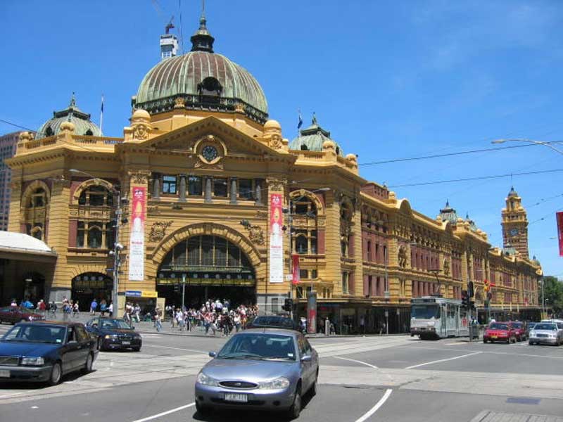
One of Melbourne's most recognisable buildings, Flinders Street station, in the heart of the city on the banks of the Yarra River, has been the focal point of the City's rail system since 1854 and the circulation patterns and forms that evolved from that date are reflected in the present building. No one can mistake its uniquely designed dome and the arches. The Melburnian idiom "I'll meet you under the clocks" refers to the row of clocks above the main entrance, which indicate the departure time of the next train on each line. This is a popular meeting place, at the intersection of two of the city's busiest thoroughfares.
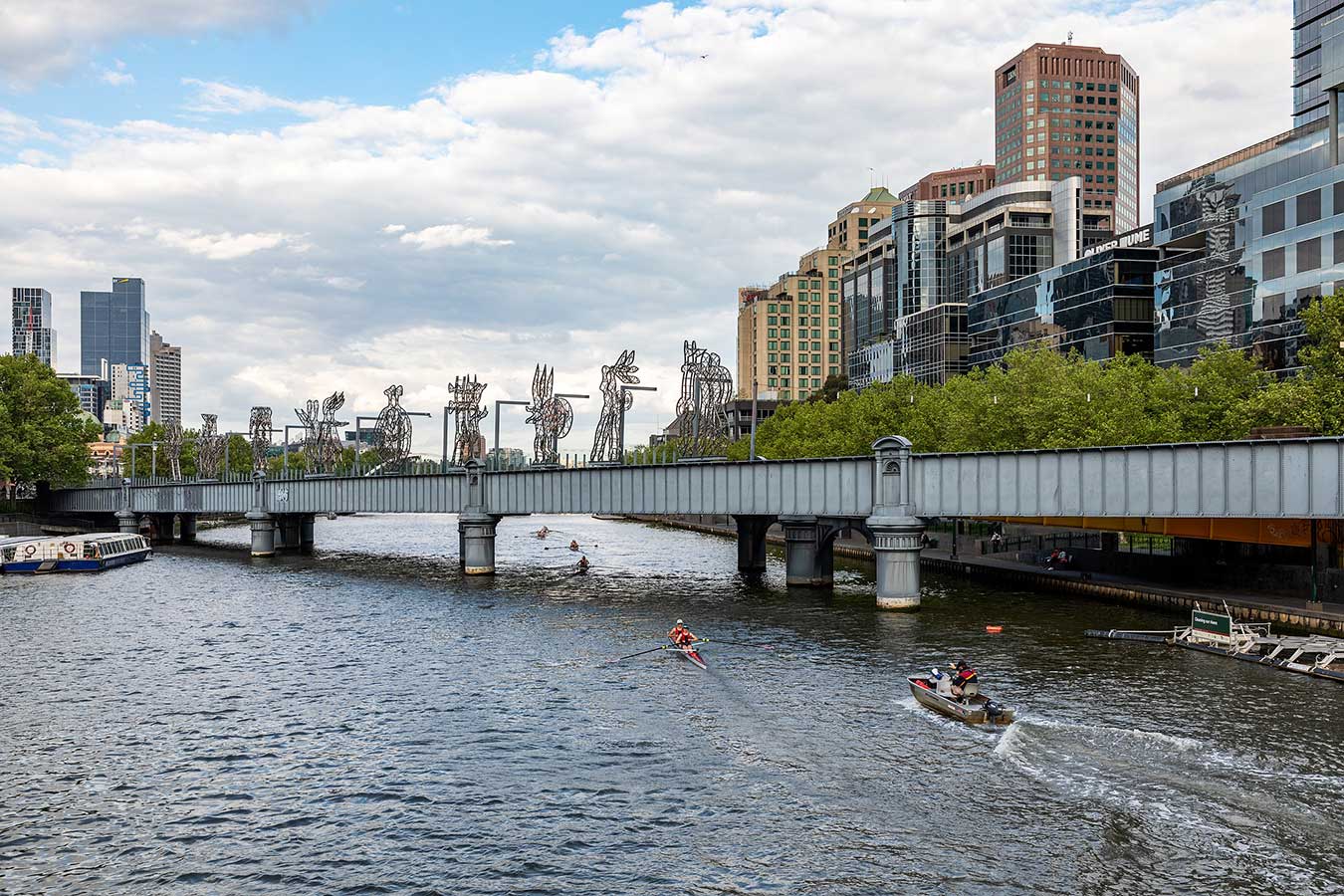
Sandridge Bridge, which crosses the Yarra River between the city centre and Southbank, today provides pedestrian access between Flinders Street Station and Southbank. The former railway bridge provides a unique link with Melbourne's past and present. The third bridge on the site, this 78.4 metres long bridge steel structure runs diagonally to the river's banks and was redeveloped in 2006 as a pedestrian and cycle path featuring public art relating to the diverse cultures of Melbourne. Ten abstract sculptures in a piece titled The Travellers represent the different types of immigrants who traditionally arrived by train over the bridge from Station Pier. Nine of the sculptures move across the bridge in a 15-minute sequence, moving on bogies running between the two bridge spans.
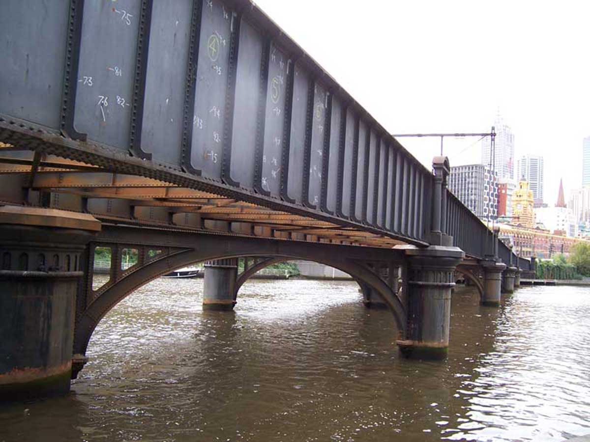
The Sandridge Railway Bridge, which crosses the Yarra River from the city to Southbank Promenade between Queens Bridge and Princes Bridge, was part of the Port Melbourne (Sandhurst) and St Kilda railway lines.
Constructed in 1888 during the transition from iron to steel, the Sandridge Rail Bridge is possibly the earliest example of the use of steel bridge girders on the Victorian rail system. The bridge replaced two earlier railway bridges, erected in 1853 and 1859 on what was the first railway line in Victoria. The line passed from Flinders Street station across the Sandridge Railway Bridge, and then followed Whiteman Street before turning south and following the path now taken by the tram to Port Adelaide, which in fact uses track laid originally for the Sandridge railway trains.
After leaving the inner city centre, the Port Melbourne tram service (Route 109) joins the line down which the original train service travelled at the corner of Clarendon and Whitman Street, South Melbourne.
Tram lines along Clarendon Street and Park Street were opened in 1890, along with the connection made to the city seven years before with a steam ferry between Clarendon and Spencer Street. Manufacturing and food-processing industries expanded back from the riverside. The giant red brick Tea House building, originally a stationer’s warehouse (1890), is a surviving example in Clarendon Street. Notable food processors were Hoadley’s Chocolates (later Allens Sweets) and Sennits ice-cream. Textile mills, timber merchants and furniture trades set up in the 1880s. Clarendon Street, in addition to having many food and drapery retailers, had furniture retailers. Maples, Tyes and Andersons began in South Melbourne and grew to become metropolitan chains. Crofts grocers also began in South Melbourne.
South Melbourne, between the south bank of the Yarra River and Port Phillip Bay, originated at the area known as Emerald Hill. An old volcanic outcrop, Emerald Hill stood out from the surrounding swamp land and had greener vegetation. Its elevation above the Yarra delta attracted the initial settlement. During summer, the swamp land dried out and it could be used for recreation or military training.
Settlement south of the Yarra River was focused on Sandridge (Port Melbourne), which was linked to Melbourne by a track from a pier at Sandridge beach. Land sales in South Melbourne were few during the 1840s, but in 1852 a survey of Emerald Hill resulted in the auction of subdivided lots.
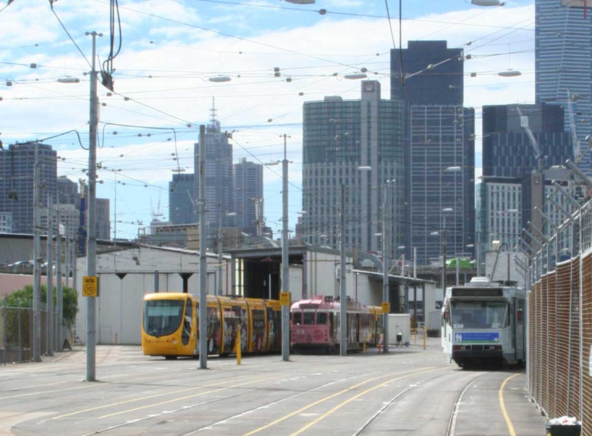
Southbank tram depot is located in Southbank, is one of eight tram depots on the Melbourne tram network. Southbank tram depot opened on 8 February 1997 on the site of the former Montague shipping shed replacing South Melbourne depot. The main yard has nine roads, two of these inside a maintenance shed.[4] There are also two stabling roads for the three Colonial Tramcar Restaurant cars, which also operate from this depot. Two entrances exist, East Gate and West Gate.
Montague Street Bridge is located at 83 Montague Street, between Woodgate Street and Gladstone Lane. Construction firm Johns & Waygood was contracted to build the bridge in 1914[1] as part of the infrastructure of the Port Melbourne railway line. Montague Railway Station was located just south of the bridge and mainly served workers at nearby factories.
Flooding on Montague Street was a perennial problem; in 1916, the area around the bridge was under a foot of water and pedestrians could not approach it. In 1934, South Melbourne council raised the underlying street level by about two feet, thus lowering the height of the bridge.
The last passenger train ran to Montague station on 10 October 1987 after it was announced that the line would be converted to light rail. The replacement light rail line was officially opened on 18 December 1987.. Currently the bridge carries trams along route 109 between Box Hill and Port Melbourne.
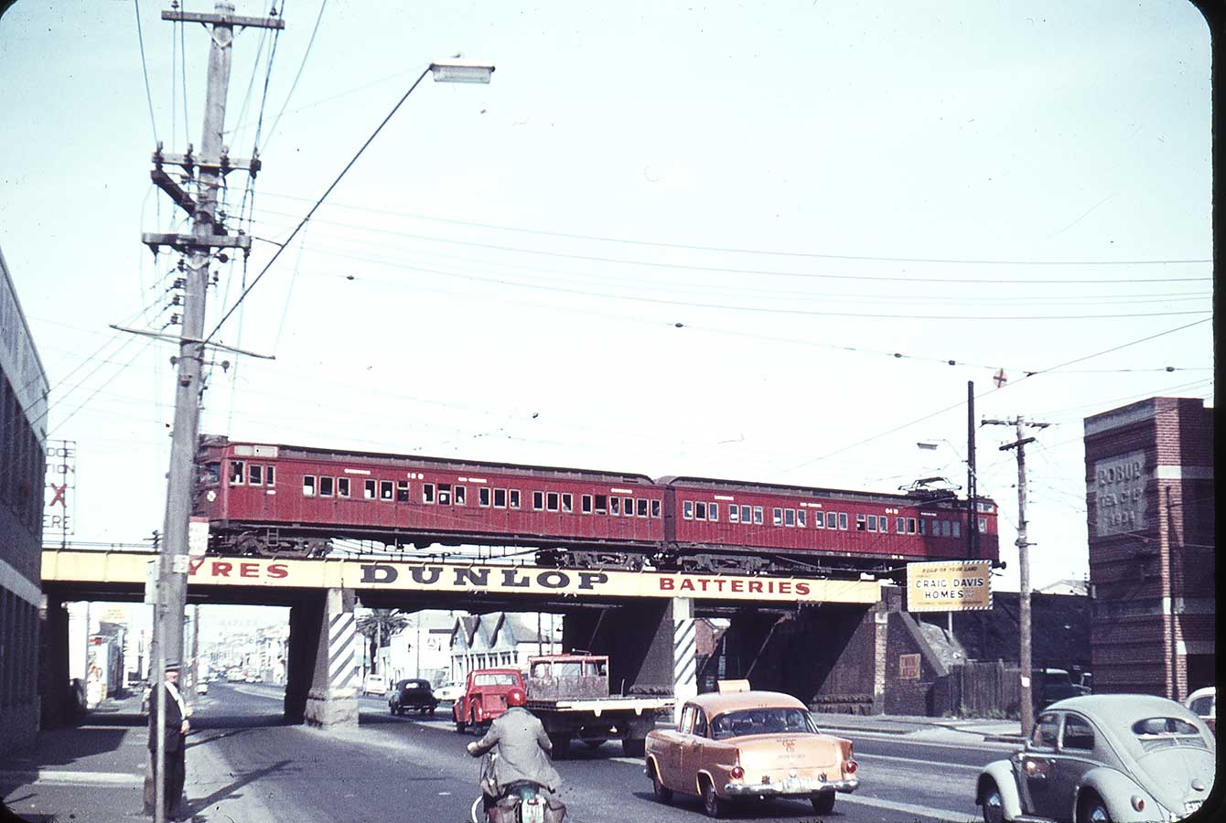
The Graham tramstop takes its name from Graham Street. Located to the north of Graham Street, between Evans Street and Station Street, the station has been demolished since 1987, and is now served by route 109 trams, stopping at a pair of low level platforms. Graham station opened in 1888 as Graham Street, with the name simplified to Graham in 1909. The line through the station opened in 1854. The station was originally a pair of side platforms on a double track railway, and was set in the middle of a landscaped reserve 30.5 m (100 ft) wide, that ran between Boundary and Graham Streets, a remnant of a short lived Parliamentary provision that railway reservations be 100 yards in width.
In 1914, with the opening of the New Pier (later Princes Pier), located to the north of the existing Station Pier (formerly named Railway Pier), Graham became a junction, with a new line diverging from the Up end of the station. The station had two sets of interlocked gates at the Graham Street level crossing, controlled by a signal box on the western side, as well as a number of goods sidings at the Up end. The Bridge Street level crossing also had its own signal box.
The formerly industrial Port Melbourne has been subject to intense urban renewal over the past decade. As a result, Port Melbourne is a diverse and historic area, featuring industrial and port areas along the Yarra, to open parklands, bayside beaches, exclusive apartments and Bay Street's restaurants and cafes. The suburb also forms a major transport link from east to west, home to one end of the West Gate Bridge.

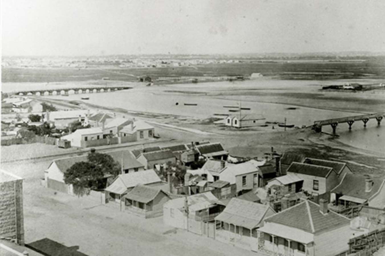
Port Melbourne was originally called Sandridge. It was William Wedge Darke who surveyed Port Melbourne area under the instructions of Surveyor Robert Hoddle. He worked from a Caravan that he parked near the beach. A track was put through the tea tree scrub and a sign for the settlement was erected on as sandy ridge, and the name Sandridge was adopted. In 1884, local council changed the name to Port Melbourne.
Land sales were delayed until 1850. The gold rush immigration brought passengers and freight which made use of a government pier on Hobsons Bay, served by Australia's first railway line from Melbourne to Hobsons Bay. The first allotments surveyed in Sandridge were between Stokes Street and a linear lagoon on the east, now Esplanade East.
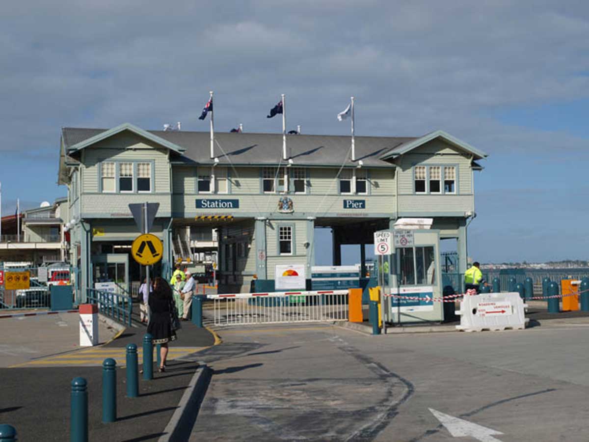
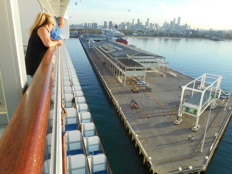
It was to Station Pier at Beacon Cove on the northern shores of Port Phillip Bay that the majority of migrant ships tied up when visiting Melbourne. In the early days Melbourne's port was little more than a pier jutting out into the bay. The pier around which the suburb of Port Melbourne grew carried the tracks of Australia's first steam railway from 1854, the year in which it and the railway were officially opened on 12th September. Completed just three years after the establishment of the colony of Victoria, the railway, which ran from Flinders Street to Sandridge (now Port Melbourne), was operated by the privately-owned Melbourne and Hobson's Bay Railway Company.
After all these years, a large section of the railway that gave the pier its name still remains, although these days the tracks are used by trams and no longer extend onto the pier itself or into the city centre at the Melbourne end. The Sandridge Railway Bridge, which carried the line across the Yarra River to Flinders Street Station, still stands, but is no longer in use as a rail bridge.
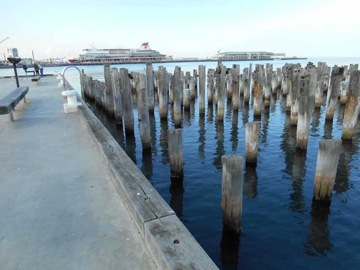
Princes Pier is a 580 metre long historic pier on Port Phillip, in Port Melbourne, Victoria, Australia. It was known as the New Railway Pier until renamed Prince's Pier after the Prince of Wales (later Edward VIII) who visited Melbourne in May 1920. The pier was constructed between 1912 and 1915 by the Melbourne Harbour Trust to supplement the adjacent Station Pier (originally the 'Railway Pier'). From completion in 1915 until 1969 it was also a major arrival point for new migrants, particularly during the post-war period. In addition to a pier, there was a gatehouse and barriers, terminal building, amenities rooms, goods lockers, ablution blocks, railway sidings and passenger gangways.
From opening the pier was linked by rail to the Port Melbourne railway line, via double lines branching from the Melbourne side of Graham station. Eight railway tracks ran onto the bridge, four along either face. A passenger rail service was provided to the pier from 30 May 1921 operated by suburban electric trains. With the containerisation boom the pier became unused, being closed to public access in the early 1990s due to the poor timber condition, and squatters caused a fire in the late 1990s that destroyed the store structures. A refurbishment was commenced in 2007, which saw the first 196 metres of the Pier fully restored, and beyond that point the decking being removed and the original pylons preserved. The pier reopened to the public in December 2011.
![]()
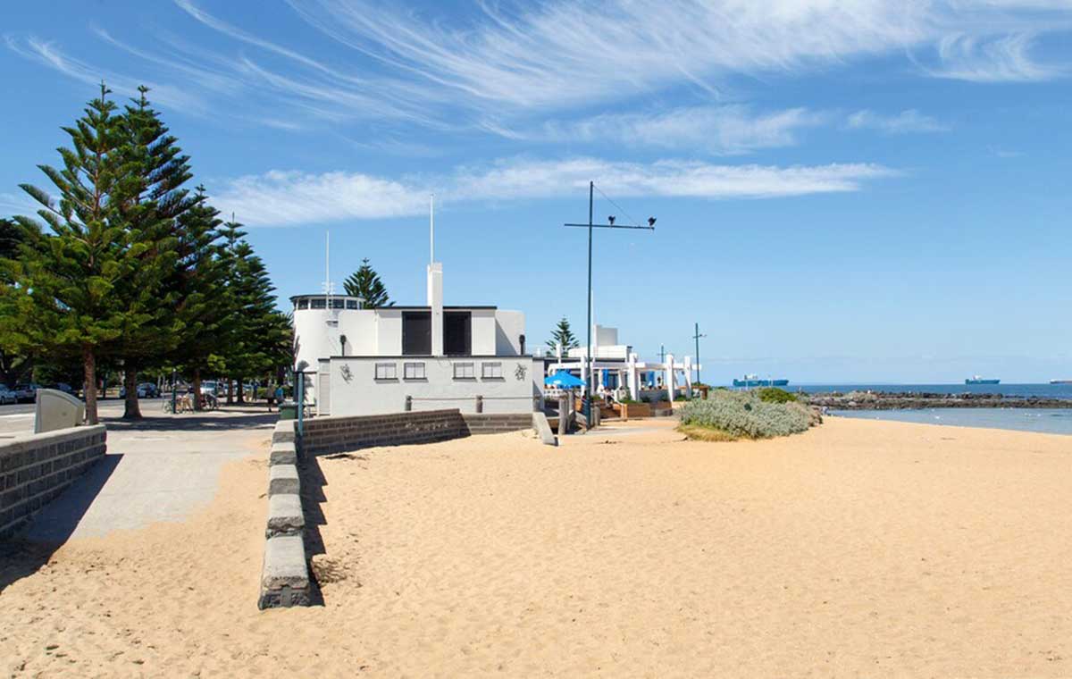
The two Port Melbourne Lighthouses were built in 1924, guiding ships by marking the centre of the Port Melbourne Channel from Port Phillip Bay. The two lighthouses have been preserved as part of the new housing estate that has transformed the old industrial port area, originally built to guide ships into.
The Port Melbourne Front Light, just offshore between Princes Pier and Station Pier, is a round and tapered wooden-framed light built on piles. The Port Melbourne Rear Light is a 26 metre concrete tower, 500 metres north of the Front Light. Originally surrounded by the large BP fuel distribution installation that was cleared in the early 1990s, the light is now the focal point of the Beacon Cove Project, a bayside housing development.
![]()
Beacon Cove is a locality within Port Melbourne and the City of Port Phillip. It comprises approximately 1100 dwellings in a mixture of low-rise medium density and high-rise housing, with a small supermarket, some commercial space, a small number of cafes and restaurants and a leisure complex including a gym, swimming pool and tennis courts.
Beacon Cove features a waterfront promenade, palm-lined boulevards and a layout that allows the retention of two operational shipping beacons. Most of the low-rise housing is arranged around a series of small parks, in a postmodern scaled-down Beaux-Arts plan, similar in layout to nearby St Vincent Gardens in Albert Park. Along the foreshore is a series of 11 14-storey high-rise apartment towers with a small amount of very upmarket low-rise housing at the western end, directly fronting Sandridge Beach.
Garden City is a locality within Port Melbourne and the City of Port Phillip. It started in the 1920s as a planned "garden suburb", similar to those built in Britain a few years earlier during the Garden City Movement. The early development was built as low-cost housing by the State Bank, with later additions of public housing by the Housing Commission of Victoria.
It comprises semi-attached single and double-storey houses arranged around a series of public open spaces, in a distorted Beaux-Arts layout. Contrary to popular belief, the "Bank Houses" were never public housing and have always been in private hands. The "Bank Houses" area later became known as "Nobs Hill", a reference to relative wealth of their occupants compared to the residents of the clinker brick public housing that was added later. The Housing Commission area was known as 'Little Baghdad'.
Little known but well worth visiting, this secluded beach is located beyond Beacon Cove, next to the Webb Dock. Parking is plenteous and right next to the beach, there’s a fully equipped playground with marin-themed installations and boardwalks. This is a historic area with multiple visual display boards telling the story of docks and the first Australian steam engine railway (1853).

Sandridge Lookout is located 800 metres along the gravel path that is Dockside Road extended out into Hobson Bay. The lookout provides panoramic views back to the beach, over to the city's skyline and back over the elegant curve and climb of Westgate Bridge.


Design by W3layouts