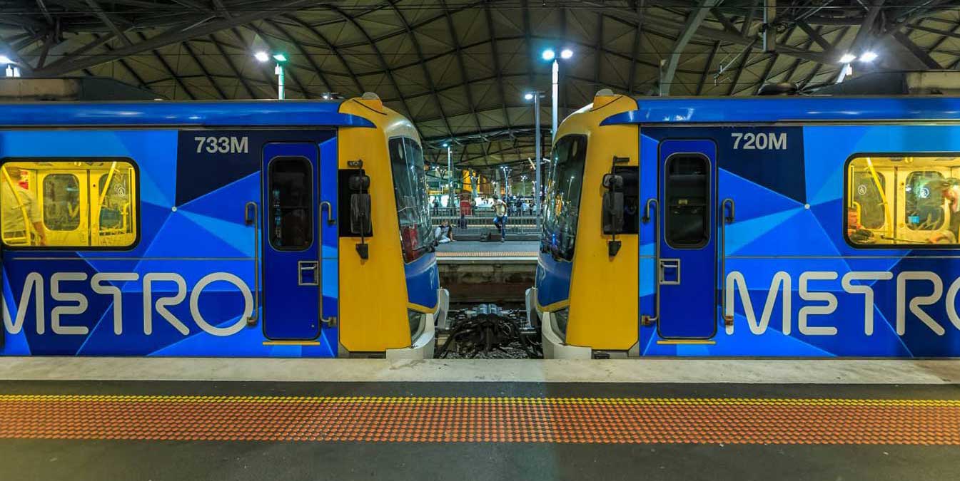
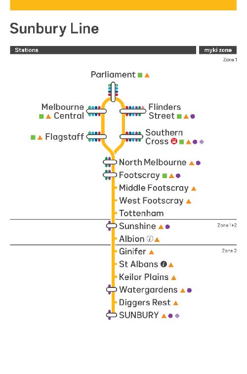
The Sunbury railway line is a suburban electric railway line in Melbourne. It has 15 stations, and is the electrified section of the Bendigo railway within metropolitan Melbourne. Prior to the line extension to Sunbury, the line was known as the Sydenham railway line, and prior to the extension of electrification to Sydenham, the line was known as the St Albans railway line.
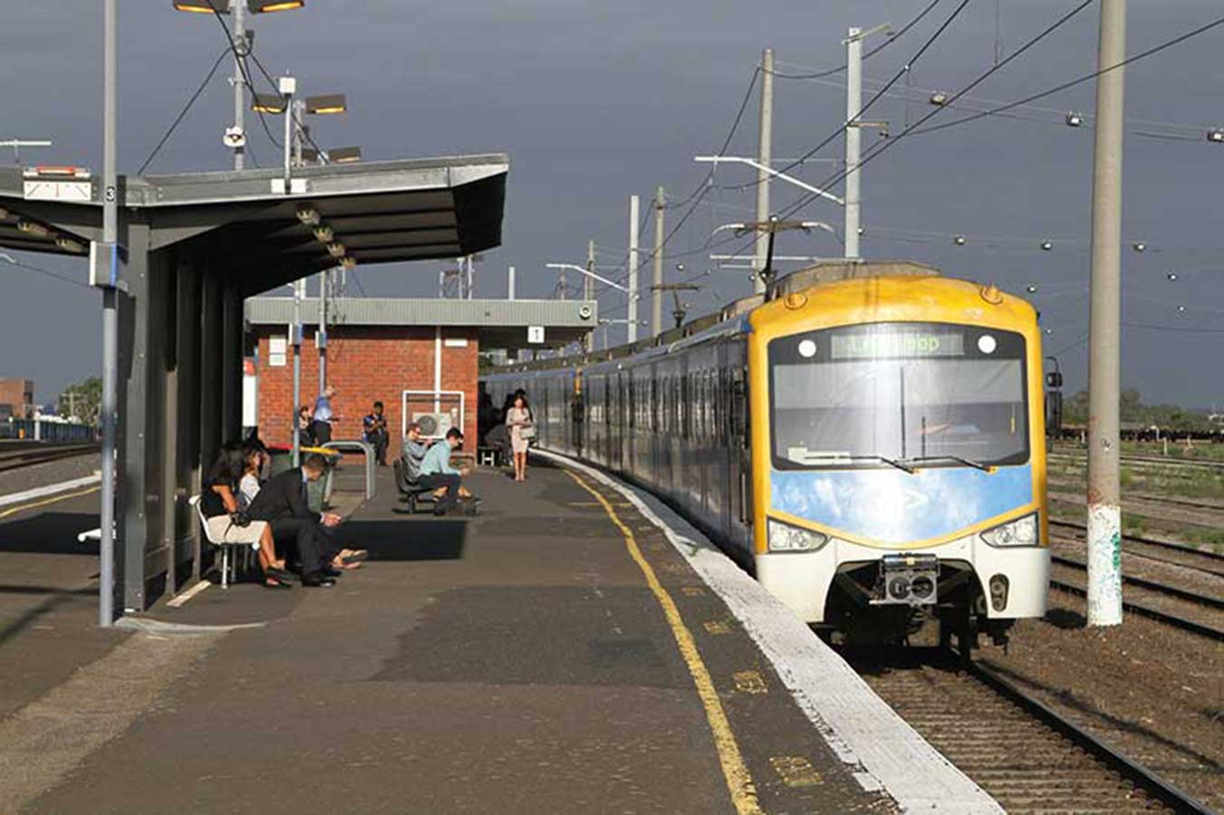
Suburban services usually stop all stations except South Kensington. Some daytime services originate and terminate at Watergardens. Some weekday peak services run express between North Melbourne and Sunshine, stopping at Footscray. Early morning weekend services skip Southern Cross and South Kensington. Weekday morning and weekend services run clockwise, while weekday afternoon services run anticlockwise, through the City Loop. Early morning weekend services run via (but not stopping at) Southern Cross to and from Flinders Street.
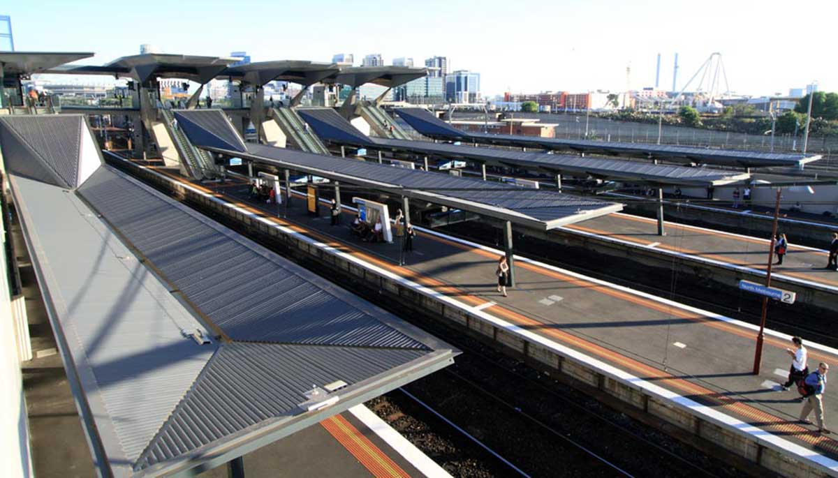
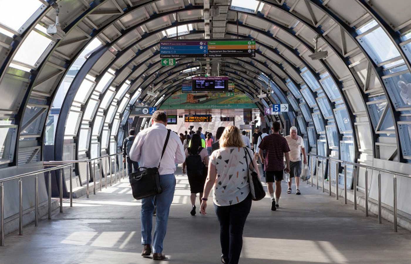
North Melbourne railway station is the junction station for the Craigieburn, Flemington Racecourse, Sunbury, Upfield, Werribee and Williamstown lines. It serves the north-western Melbourne suburb of West Melbourne, and it opened on 6 October 1859. The first railway through the site of North Melbourne station was today's Williamstown line, and the first section of the Melbourne, Mount Alexander and Murray River Railway Company line (to Sunbury), both opened on 13 January 1859. The first passenger station with two platforms was opened on 6 December 1859, and the present six platform station was opened on 9 June 1886.


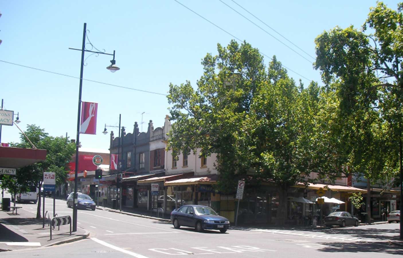
Kensington is known for its village feel, cafes, and diversity of architecture - including Victorian terraces, cottages, warehouse apartments and new structures in the west of the suburb. The suburb is hilly in sections and contains established tree lined streets.
The suburb is bounded by Racecourse Road to the north, Smithfield Road and the Maribyrnong River to the west, Dynon Road to the south, and Moonee Ponds Creek to the east. Kensington was once home to one of Victoria's major abattoirs and livestock saleyards, an army ordnance depot and a number of factories. The stock yards ceased operation in 1984, prompting significant urban renewal in the area now known as Kensington Banks.
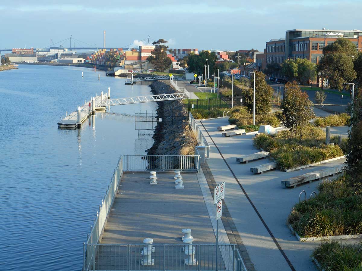
Maribyrnong River, Footscray
A railway line to Essendon was opened by the Melbourne and Essendon Railway Company in 1860, including Kensington railway station. The railway closed in 1864, but was later reopened as far as Newmarket by the Victorian Railways in November 1867. The refurbished and extended railway line also served the Newmarket cattle sale yards, which by 1888 handled more than half a million animals every year. South Kensington station opened in March 1891.
Footscray is a bustling, multicultural suburb on the banks of the Maribyrnong River, on the western fringe of the city. While the sense of industry can still be felt in the nearby docks stacked with colourful shipping containers, the heart of Footscray is one filled with Vietnamese soup joints, Ethiopian cafes, bustling markets, expansive public gardens and riverside bike paths, all within view of the city.

Long a working class area due to its close proximity to the factories and warehouses of Melbourne's nearby industrial centre, it is now home to a large concentration of the city's Vietnamese population and increasingly a hub for the growing East African community, home to many immigrants from Ethiopia, Sudan and Eritrea. In fact forty per cent of Footscray's residents were born outside Australia, hailing from 135 countries and speaking more than 80 languages. This ethnic diversity has fostered a vital street culture like no other in Melbourne.
Middle Footscray railway station opened on 10 December 1906. In 1927, the station was moved about 160 metres west and reconstructed, to allow for the construction of the South Kensington – West Footscray goods line.
Two dual gauge goods tracks run north of the station, linking the Port of Melbourne and other freight terminals to the rest of the state. Since 1962, those tracks have also formed part of the Melbourne – Sydney standard gauge line. The tracks also form part of the Melbourne – Adelaide standard gauge line. The Regional Rail Link lines run to the south of the station.
The inner western suburb of West Footscray is 8 km from Melbourne's Central Business District. Barkly Village is a section of Barkly Street in West Footscray that hosts many local and ethnic grocers, stores and shops. The area has a long history of multiculturalism and includes many stores owned and operated by Indian, Vietnamese, Chinese, Anglo, Thai and Italian Australians.
Tottenham is an industrial suburb 9 km west of Melbourne. Tottenham is serviced by the Tottenham railway station, which lies on the convergent point of the borders of West Footscray, Tottenham and Braybrook. It is a station on the Sunbury railway line.
Sunshine, initially a town just outside Melbourne, is today a residential suburb with a mix of period and post-War homes, with a town centre that is an important retail centre in Melbourne's west. It is also one of Melbourne's principal places of employment outside the CBD with many industrial companies situated in the area, and is an important public transport hub with both V/Line and Metro services at Sunshine train station and its adjacent major bus interchange.
From the late 1970s, many Vietnamese refugees settled in Sunshine and surrounding areas. The Vietnamese have opened small businesses such as groceries and restaurants throughout the Sunshine town centre. More recently, immigrants moving to Sunshine have come from Sudan, Burma and India.
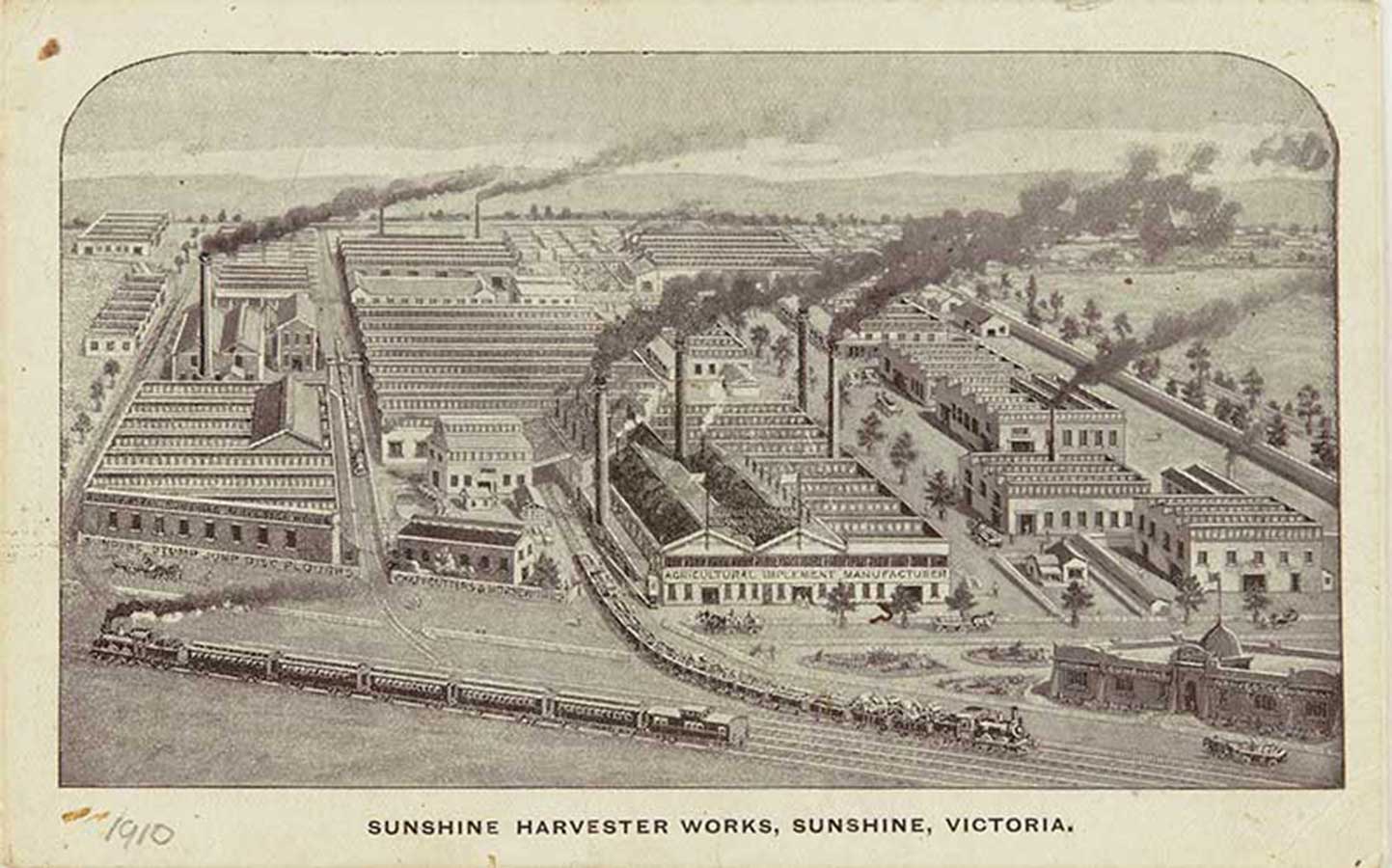
In 1904 H. V. McKay bought a factory in the area called the Braybrook Implement Works. He also secured 400 acres (160 ha) of land at Braybrook Junction with the aim of establishing housing to allow his future workers to live in the area, along the lines of a company town. The land became the Sunshine Estate. In 1906 McKay moved his agricultural machinery manufacturing business from Ballarat to his newly acquired factory in Braybrook Junction. The factory was renamed the Sunshine Harvester Works and it became the largest manufacturing plant in Australia.
14 km west from Melbourne's Central Business District, Albion is bordered on the north by Ballarat Road, the south by Forrest Street, the west by Kororoit Creek and the east by Anderson Road. The suburb is completely surrounded by other parts of Sunshine except for Ardeer, which lies to Albion's due west across Kororoit Creek.
The area was originally called Darlington, from at least 1860 to about 1890. The area originally known as Albion was directly west of Duke Street, as can be noted by the many streets there named after English counties and placenames – Albion being an ancient name for the island of Great Britain.
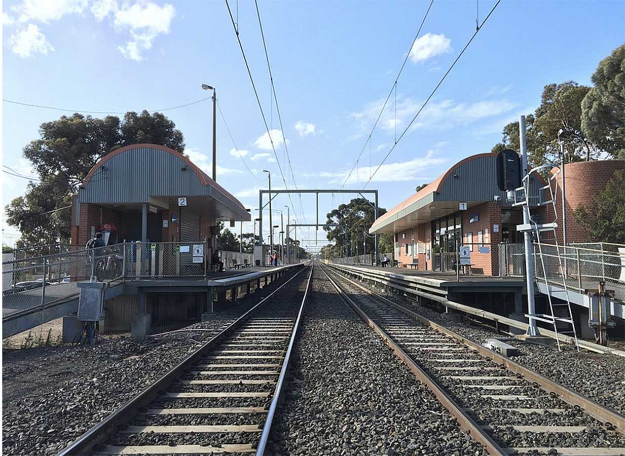
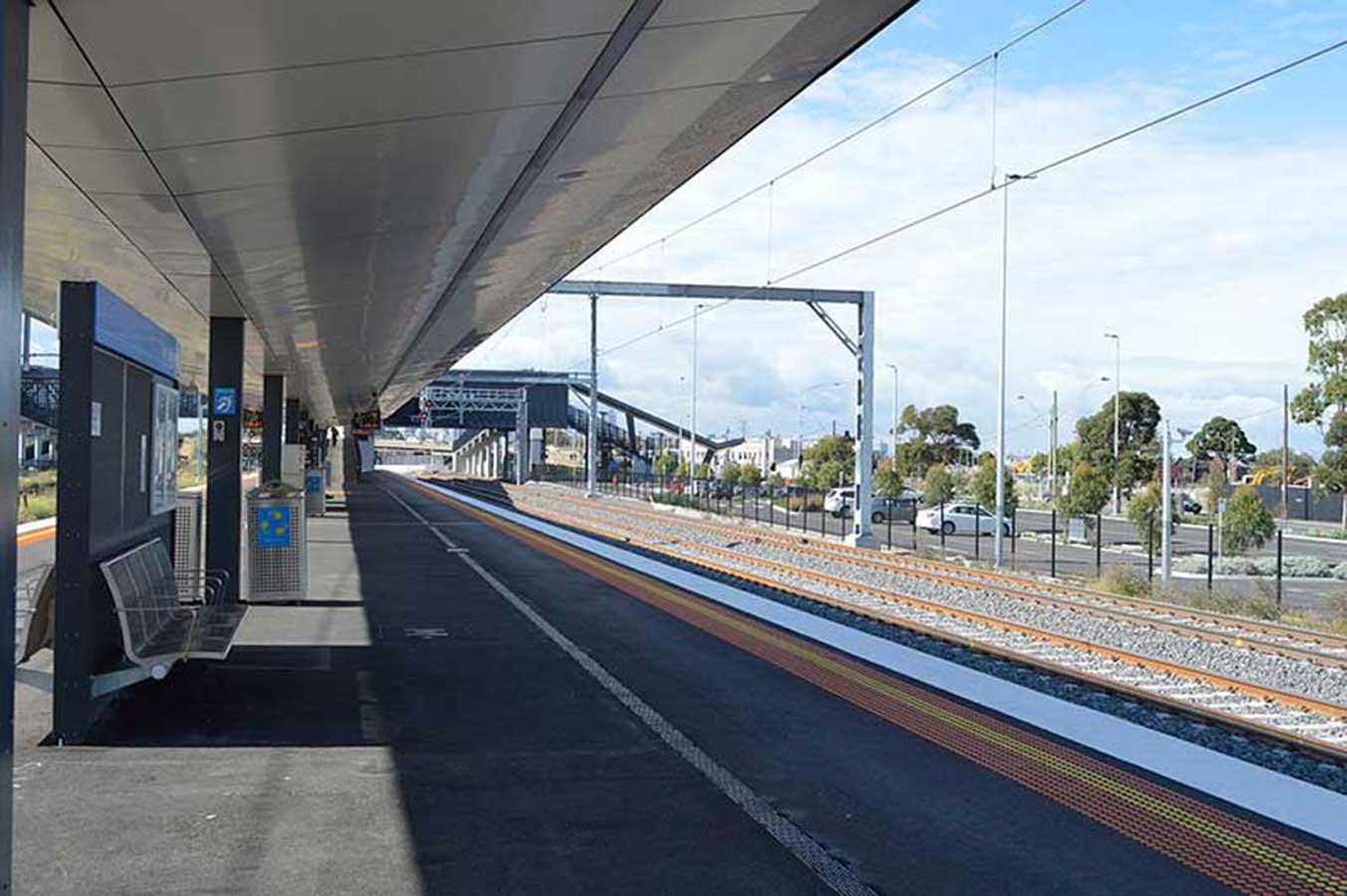
Ginifer railway station is located on the Sunbury line in Victoria, Australia. It serves the western Melbourne suburb of St Albans, and it opened on 31 October 1982. Originally to be named Furlong, after the nearby arterial, when opened it was named Ginifer, in honour of Jack Ginifer, a former local member of State Parliament. Ginifer station is on St Albans Road, St Albans.
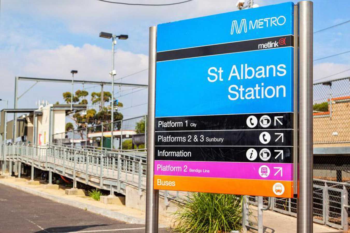
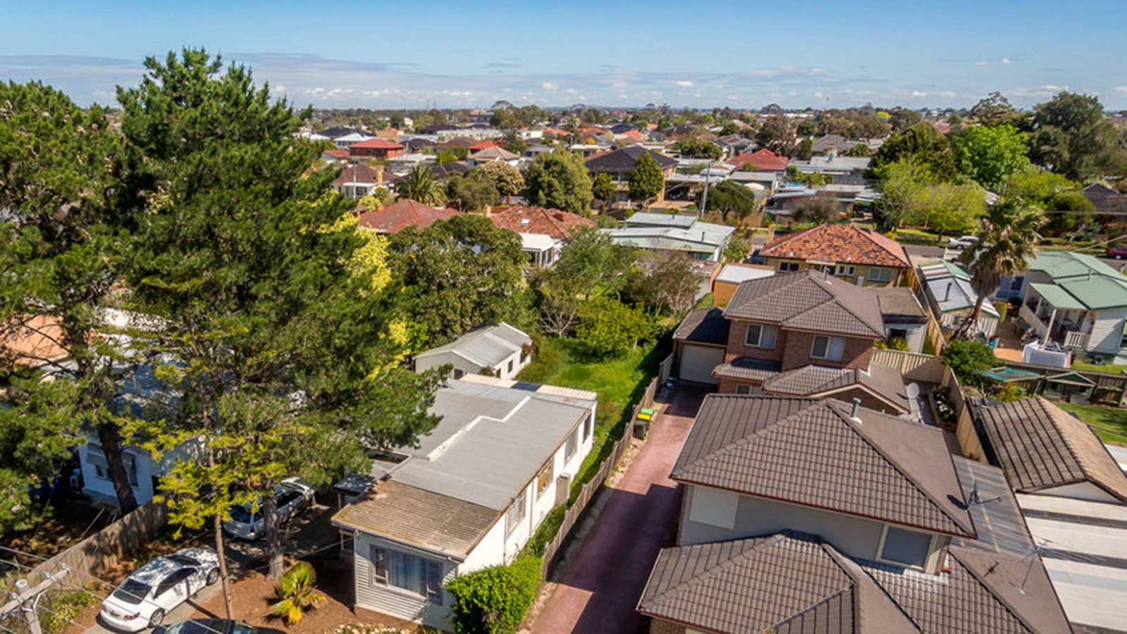
17 km north-west of Melbourne, St Albans was first established as a township in 1887. The town was promoted as an attractive location for professionals who had easy rail access to central Melbourne and adjoining suburbs with a recently constructed railway station platform attracting potential homeowners to industry in nearby locations. St Albans Post Office opened on 22 October 1888.
Development of St Albans suddenly slowed with the economic depression of the late 1890s and did not restart in large numbers until after World War II, with the influx of displaced people and continuing through the 1950s and 1960s with the influx of European migrants in response to the Australian Government's gradual relaxation of its White Australia Policy in 1947, 1957 & 1958. As a result, St Albans has become a very multicultural area with 53.5% of residents being born overseas and has a high proportion of non-English speaking background residents.
St Albans remained geographically isolated from other suburbs, with large areas of open land between it and other suburbs, until the 1980s. St Albans is now considered to be a middle-city suburb as the Melbourne Metropolitan area boundary now extends to over 35 km from the Melbourne CBD.
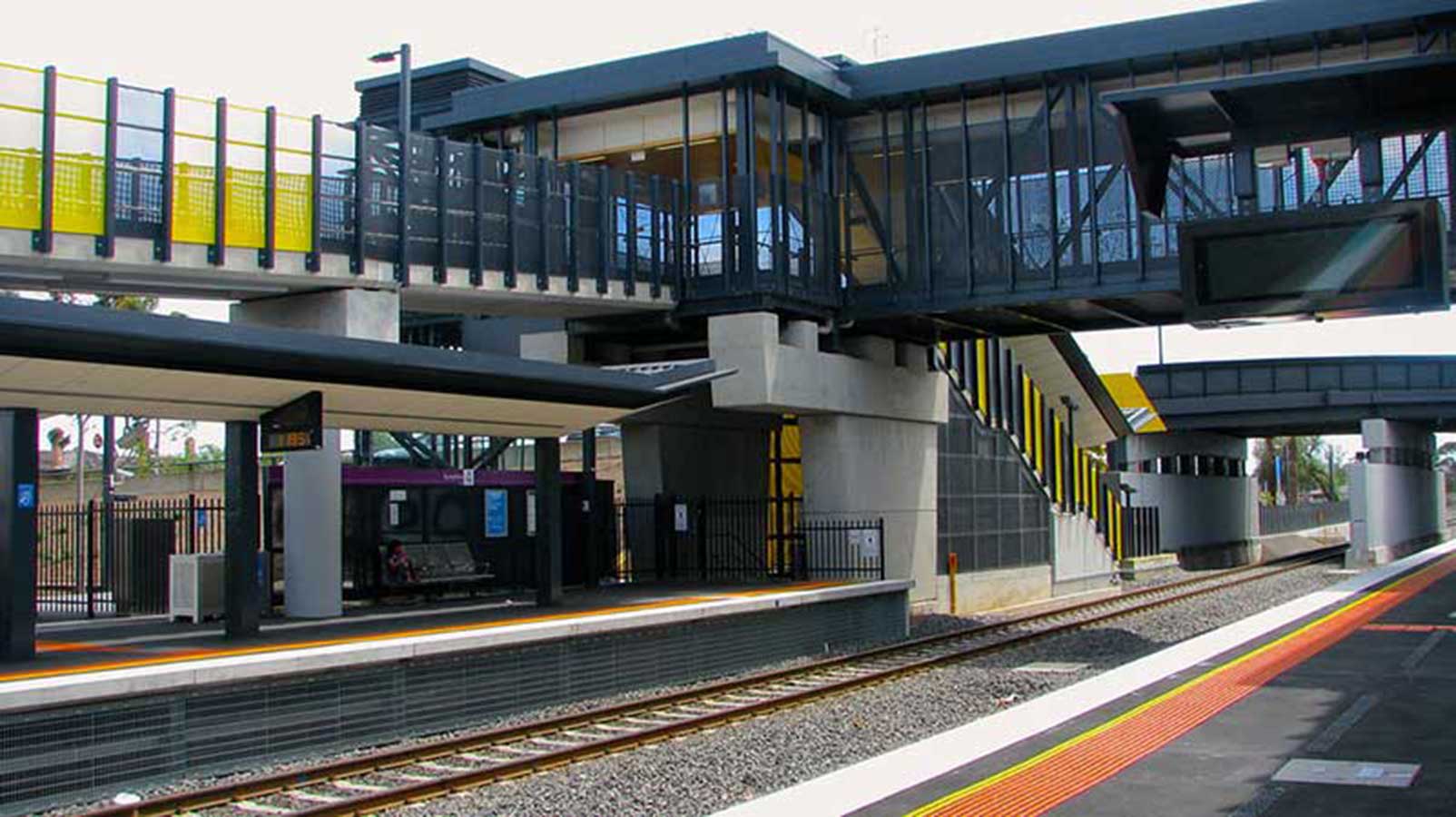
Keilor Plains railway station, which serves the suburb of St Albans, opened on 27 January 2002. The station takes its name from the surrounding country, which is of basaltic formation. The suburb of Keilor, part of which is located on the flood plain of the Maribyrnong River, is 5 km to the north east of the Keilor Plains railway station. The suburb is essentially residential with large industrial developments in adjacent suburbs.
James Watson from Scotland was the first land-holder in the district. Keilor in the early times of the gold diggings was a noted camping place for bullock teams to and from the diggings at Castlemaine and Ballarat. Caroline Chisholm was responsible for having shelter sheds erected alongside the river; a reconstructed example has been built and may be viewed. The escorts from the goldfields passed through Keilor. They camped in a paddock near Keilor. This paddock was known as Escort Paddock and the remains of an old stone building is still to be seen there.
Watergardens railway station serves the western Melbourne suburb of Sydenham, and opened on 1 March 1859 as Keilor Road. It was renamed Sydenham on 1 April 1887. The station originally opened at a slightly different location to the current station. As part of the extension of the electrified network from St Albans, the station was relocated southwards in 2002, and renamed Watergardens. The new station was to be called Sydenham, of which the name itself was built into the brickwork of the station building. However, naming rights were sold to the adjacent Watergardens Shopping Centre.
The Sydenham Post Office opened on 26 August 1861. A railway station, known as Keilor Road, was opened in 1859 and renamed Sydenham on 1 April 1887. To the north-east was the Calder Highway and Jacksons Creek with the volcanic Organ Pipes rock formation in its eastern bank. The origin of the name is apparently unrecorded.
Until the 1980s Sydenham was a rural area with a population of no more than 200 people. Local bluestone provided quarrying, and the village had two stores, a hall and a chaff cutting mill. There was a progress association and sporting clubs. Wheat, oats, barley and hay were grown along with sheep and cattle grazing and some poultry farmers. By the mid-1990s the residential settlement of Sydenham was substantially laid out. The later residential area to the west was named Hillside.
Diggers Rest began life as a stopping place on the road to the Bendigo goldfields and the Post Office opened on 18 June 1860. Caroline Chisholm started a women's shelter in the area. The town grew in the 1870s and 1880s and became a postal village with a general store, post office, weighbridge, mechanics' institute and a chaff mill. The Diggers Rest Hotel was built by 1854, and later enlarged, and became an important stopping place on the route to the goldfields. It was severely damaged by fire in 2012.
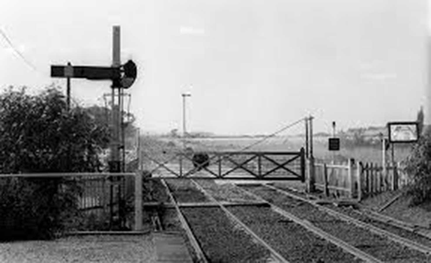
Diggers Rest station was opened for passengers on 10th February 1859, and, for a short time, was the effective terminus as most traffic would have transferred to the Bendigo road. However, this status only lasted until 1861 when the line was extended to Woodend. Subsequently Diggers Rest was, and remains, a minor station. The goods siding was removed in 1989 and the remaining crossover in 1992.
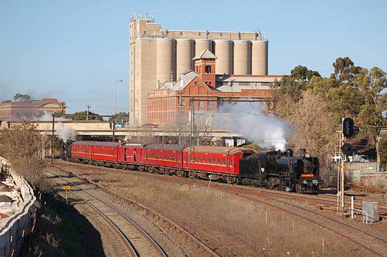
A satellite city located 39 kilometres north-west of Melbourne's central business district, Sunbury is considered part of Greater Melbourne. Sunbury Railway Station is connected by Metro services to Melbourne and by V/Line services on the Bendigo train line to both Melbourne and country Victoria. Sunbury was the terminus of the first country section of the Victorian Railways to be opened in 1859, the line was extended north two years later. The curious three track yard, dating from the earliest times and unique in Victoria, lasted until very recently.
The Sunbury area has several important Aboriginal archaeological sites, including five earth rings, which were identified in the 1970s and 1980s, and believed to have been used for ceremonial gatherings. Records of corroborees and other large gatherings during early settlement attest to the importance of the area for Aboriginal people of the Wurundjeri tribe. One Indigenous name for the area of unknown language and meaning is 'Koorakoorakup'.


Design by W3layouts