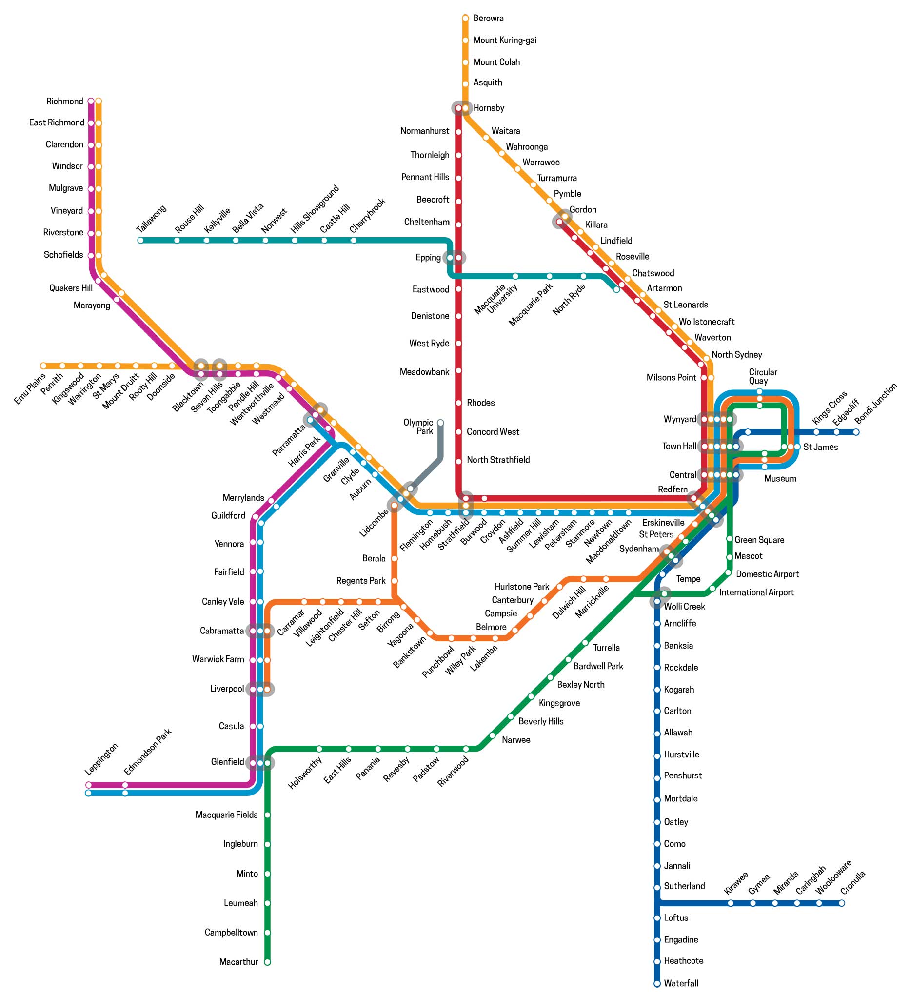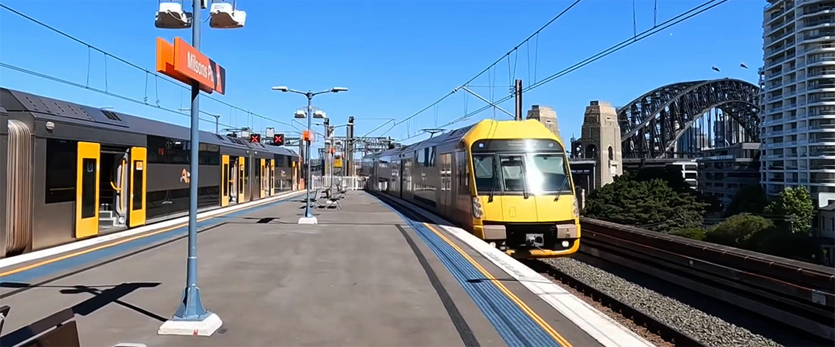
Main Western Line, Sydney, NSW
The Main Western Railway Line is a westwards continuation of what is known as the Main Suburban Line between Sydney Central station and Granville. The Main Northern line branches off at the Parramatta side of Strathfield. The line passes through Lidcombe, where the Main Southern line branches off (towards liverpool), and then through the Sydney suburbs of Parramatta and Blacktown, where the Richmond railway line branches off. At St Marys, the line becomes two tracks as it passes through Penrith and Emu Plains, the extent of Sydney suburban passenger train operation.
From Emu Plains, the line traverses the Blue Mountains passing through Katoomba and Mount Victoria before descending down the western side of the Blue Mountains through ten tunnels to Lithgow. Lithgow is the extent of urban electric passenger train services.The line then proceeds through Wallerawang, where the line becomes single track, and then passes through Tarana, Bathurst, Blayney, Orange (where the Broken Hill line branches), Wellington, Dubbo, Narromine, Nevertire, Nyngan, Byrock and to Bourke. The section between Nyngan and Bourke is now closed. The Central West XPT operates as far as Dubbo. This train journey follows the Main Western Line from Parramatta to Penrith.
The Journey
In 1855 the first railway in the state was opened between Sydney and the present-day Granville. This railway was extended from Granville to the current Parramatta station and Blacktown in 1860 and Penrith in 1863. The railway then crossed the Blue Mountains between 1867 and 1869. The Blue Mountains were a significant geographical barrier to the development of western New South Wales, and the crossing required significant feats of engineering for the railways, including two 'Zig Zags': one for the ascent at Lapstone, and another for the western descent.
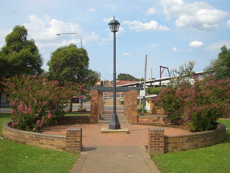
Parramatta
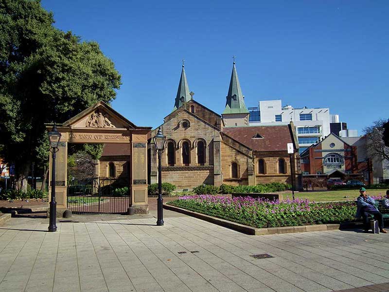
Parramatta holds great significance in the history of Australia, being the first European inland settlement, and the second settlement overall after Sydney Cove to be established by Australia's British colonists of the late 18th century. As one might expect, Parramatta has some excellent examples of early colonial architecture including Old Government House, Elizabeth Farm, St John s Cathedral, the Lancer Barracks and the Linden House Museum.
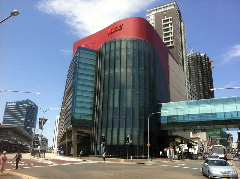
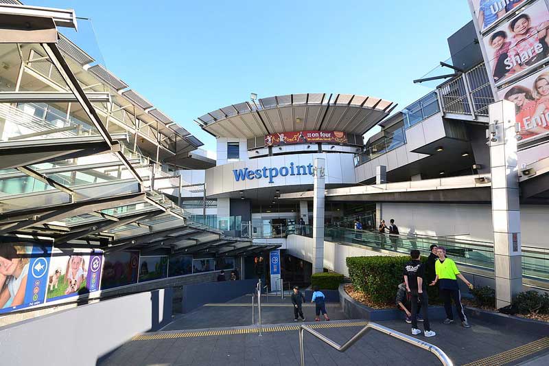
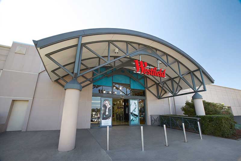
Today's Parramatta is a modern city with a range of cafes and restaurants exploring cuisines from around the globe, large shopping centres, cinemas, theatre and the Rosehill Racecourse. Parramatta is best a understood with a visit to the visitors centre which features Parramatta: People and Place, a major exhibition that traces the development of Parramatta, and can then be explored following a walking map.


Parramatta Park
In 1861 the Western Railway Line was extended beyond Parramatta station. The line divided the park and necessitated the demolition of Governor Macquarie’s stables. This set a precedent for subsequent grabs for land from the estate, such as the allotment used for construction of Parramatta High School in 1913. A platform named the Domain, at what was the governor's domain, was opened on 23rd April 1861 in Parramatta Park close to the Astronomical Observatory remains and Old Parramatta House. The platform was re-named Parramatta Park in 1885. Falling patronage led to its closure in 1914.
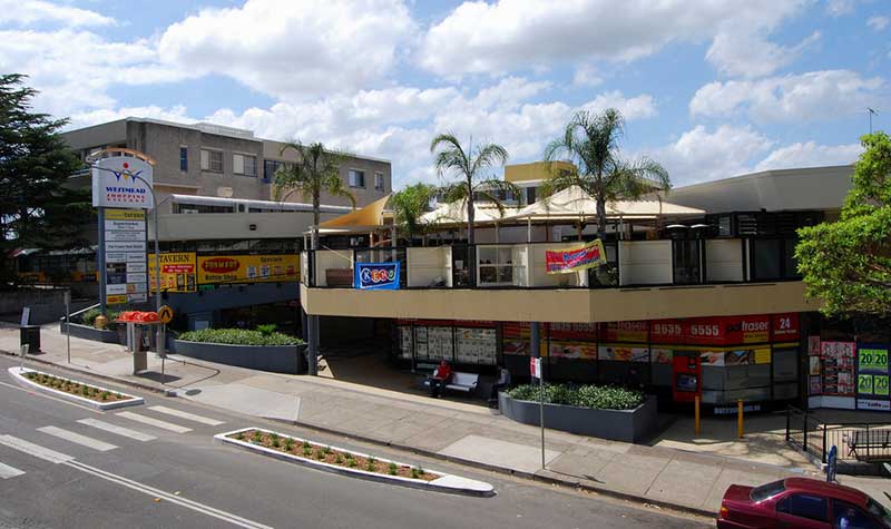
Westmead
Westmead was originally part of the governor's domain at Parramatta set aside by Gov. Phillip. Parramatta Park is all that remains of the domain. The Westmead section of the domain was subdivided and sold between 1859 and 1889, with orchards filling most of the small farms thus created.
The railway was put through in 1861 but it wasn't until 1883 that residents successfully petitioned for a station at Westmead. From that time, the slow progression from orchards to residential suburb began.
Rogans Hill station
Westmead Junction
The now-closed Rogans Hill line, which branched off the Main Western Line at Westmead Junction, had its origins as a steam tramway which ran from Parramatta north to Castle Hill. This tramway broadly ran alongside Church Street, Windsor Road and the Old Northern Road.
In 1923 when the tramway was converted into a railway, and the new loop from Westmead Junction was built, joining the original route at Northmead. The railway then followed most of the tramway route, except that it was extended north of Castle Hill to Rogans Hill. The 10.7 km extension from Westmead Junction was opened on 28th January 1923. The line was never very successful, and suffered from competition with road traffic. It was closed on 31st January 1932 and the line was lifted.
Wentworthville
Wentworthville was named after D'Arcy Wentworth, a colonial surgeon who was not only an important public figure in Parramatta but also a landowner. He took possession of a 2,750 acre estate in 1810 and named the house he built there Wentworth Wood House, after the property of Thomas Wentworth, Earl of Stratford, who was executed on Tower Hill in 1641.
In the 1840s, the area was cleared and many market gardens and poultry farms established. When the railway came through in July 1862, the train did not stop here and it wasn't until 1883 that it became a stop. It was originally called TR Smith's Platform, but was changed to Wentworthville two years later. It was around this time that subdivision for residential development began, turning farmland into suburbia.
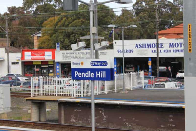
Pendle Hill
Pendle Hill was named after Pendleton (below) in Lancashire, the centre of England's cotton industry. During the 19th Century, many poultry farms were established here.
In 1932, George Bond established a cotton spinning mill here and requested that the railway station be built near his mill and that it be named after Pendleton in Lancashire, England, the centre of Britain's cotton industry. Bond's manufacturing business grew into one of Australia's most well known clothing brands.
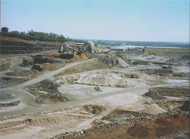
Prospect Quarry
Prospect Hill Junction
The first railway on Prospect Hill was a narrow-gauge railway opened in 1870 to carry freight from one of the early commercial quarries to a siding at Fullager's Bank on the main western line near Toongabbie. It closed before 1900.
When the first Prospect quarry was opened in 1901, a standard-gauge railway was built to connect the quarry to the main Western Railway at Toongabbie. It opened on 7th April 1902. The locomotive was known as Possum. This line that was known as the Toongabbie Stone Siding. It followed the line of Toongabbie Road.
The line not only carried gravel from the site but also carried workers to the quarry and other passengers to a halt at Prospect until the line closed in 1926. A branch from the Prospect line was built to a quarry at Greystanes prior to 1910. That line was also closed by 1926. Evidence exists that this line was used for picnic outings, where families were taken for a day out. A part of the railway embankment is still discernible within Prospect Quarry. The line has been lifted.
Toongabbie
The name Toongabbie is of Aboriginal origin, said to be derived from 'tuga' meaning 'thick wood'. Another source suggests it means 'meeting of the waters' referring to the confluence of Toongabbie Creek and Quarry Creek where the Toongabbie Convict Farm was established in 1791. Thomas Daveney, superintendent of the convicts at Toongabbie, was granted 100 acres near the convict farm site in 1794 as was free settler Andrew Hamilton Hume whose son was born here and grew up to be an explorer.
Major Joseph Foveaux was also granted 1,770 acres but he soon passed it on to John Macarthur in 1801. Twenty years later, after doing nothing with it, he passed it back to the Crown in exchange for his Camden property. The farming community in the area, consisting mainly of orchardists, became one of the most prosperous and successful in the Sydney region.
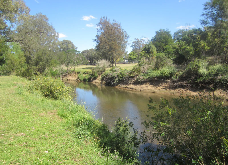
Third Settlement Reserve, which adjoins Toongabbie Creek and Quarry Branch Creek at Old Toongabbie, marks the site of the 3rd settlement established by the early British colonists. Needing to find land more arable than that around Sydney Cove, the Government established farms at Rose Hill (present day Parramatta) in 1789 and a third settlement at this location in 1791. Known as the Toongabbie Convict Farm, it used convict labour to grow crops of barley, maize and wheat. There were 2 main areas of settlement, one at Johnstons Creek, the other 3 km further north along Old Windsor Rd.
Seven Hills
Seven Hills is located 27 kilometres north west of the Sydney central business district. Seven Hills was named either because Matthew Pearce's family could see seven hills from their home which was located on the highest point in the area, or that his farm was situated near the seventh hill along the road from Parramatta. The actual seven hills are situated along the Old Windsor Road between Westmead and where today's road intersects Norwest Boulevard, Bella Vista. Pearce had arrived in Sydney as a free settler in 1794. He named his estate Kings Langley after Kings Langley in Hertfordshire, England, where he was said to have been born.
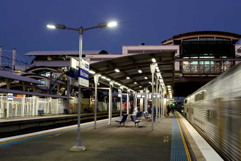
Blacktown
Blacktown was named in recognition of Governor Lachlan Macquarie's land grants to aborigines. The area incorporating these settlements was referred to as Black's Town. In 1819, Colebee and Nurragingy, two Aborigines who helped soldiers travel overland in the early years of the colony, were the first to be rewarded with a parcel of 30 acres for their undertakings.
Blacktown's first railway station was built in 1860, just 5 years after Parramatta. Rooty Hill station was built in 1861, St Marys in 1862, and Mt. Druitt in 1881.
Prior to World War II, Blacktown was one of numerous semi rural towns on the Cumberland Plains to the west of Parramatta, it being located at the junction of the Richmond and Penrith railway lines. After the war, Sydney's Greater West experienced a population explosion, and Blacktown in particular developed in leaps and bounds, become the major commercial centre on the Plains between Parramatta in the east and Penrith in the west.
Blacktown is today the largest of any suburb or township in New South Wales and is one of the most multicultural places in Sydney. Only 50% of the people living in Blacktown were born in Australia. The most common countries of brith are India, Philippines and China. The City of Blacktown is the home to the largest Aboriginal population of any metropolitan local government area.

Featherdale Wildlife Park
Doonside
Doonside was originally called Crawford after local landowner Robert Crawford. It was changed to Doonside in 1886 in honour of Crawford's home town back in Scotland, the name being first used for the railway station which was on Crawford's grant.
Doonside station opened on 27 September 1880. It was renamed Wolkara on 1 February 1921, and subsequently changed back to Doonside on 12 February 1921. The line was electrified on 9 October 1955 and Edith Crawford from the founding family, also being the oldest inhabitant, was given the privilege of 'cutting the ribbon'. Her death was in 1956.
The present station was upgraded in 1955, replacing the original buildings. The design of the station buildings applied the railway Stripped Functionalist style, as were other stations between Lidcombe and St. Mary's.
Featherdale Wildlife Park and the Nurragingy Nature Reserve are popular local tourist attractions. Doonside is located 40 kilometres west of the Sydney central business district.
Rooty Hill
Rooty Hill was the site of one of the earliest farming communities west of Parramatta, being established well before the turn of the 19th Century.A single railway line opened from Blacktown to Rooty Hill on 23 December 1861. The line was duplicated in 1886.
It was also at Rooty Hill on the property of William Minchin that Australia's wine industry made its first step into the world of international winemaking. The Minchinbury winery, established here by James Angus, was taken over by Penfolds in 1912 and became one of Australia's most famous wineries.
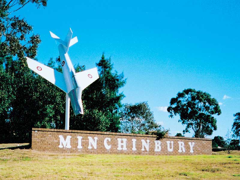
Along the southern side of the Great Western Highway there are two notable landmarks. The original entrance to Penfolds Minchinbury Estate remains in the form of the masonry work on either side of the gate, at the top of the hill between Willis Street and Beaconsfield Road. A facsimile of the original CAC Avon Sabre jet aircraft that had been installed at the entrance to the vinery in 1955 (with the accompanying sign "Don't Crash, Drink Penfolds") is mounted about 10 metres off the ground, in a nearly vertical manner, at the intersection of the Great Western Highway and Minchin Drive, adjacent to Minchinbury Reserve.
Mount Druitt
Mount Druitt is named in 1861 after General George Druitt, the Chief Engineer of Roads under Gov. Macquarie. Originally called the Parish of Rupertswood. Brief history: in 1821 Druitt acquired 1,000 acres which covered a major portion of Mt. Druitt. Rail services to Mount Druitt commenced on 19 August 1881. Little development of the area took place until 1966 when development of a new housing estate for low income earners commenced in which Mt. Druitt was to be the regional centre.
St Marys
Within 20 years of the founding of the settlement on Sydney Cove in 1788, land around what is now known as South Creek was being settled, as it had a permanent water supply and rich alluvial soil along the banks of the Creek. The expanding agricultural community here, originally known as South Creek, soon became a became a convenient staging post on what was then called the Great Western Road, later renamed to the Great Western Highway. Many of the key pioneer families of colonial Sydney were associated with the area.
The remains of an ammunition building and bunkers which were once part of a munitions factory and storage facility are located within the St Marys Industrial Estate, which was built on the site of the wartime complex. Designed for explosives, the buildings were erected during World War II, each being surrounded by mounded earth. A number of tunnels and trenches remain. After the War ended, the factories were leased or sold to private enterprise and the Dunheved Industrial Estate came into being.

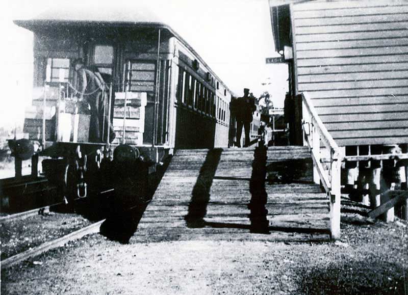
Ropes Creek station before its restoration as a cultural park
Ropes Creek was the site of a World War 2 munitions area, now formerly known as Australian Defence Industries (ADI). The area had its own railway line, built during World War II to serve the Department of Defence area to the north of St Marys station. The line had had three stations on it: Dunheved, Cochrane and Ropes Creek. Cochrane station is on restricted property, so the opportunities to visit are limited. The line was closed to passenger rail traffic with a down turn of passengers and munitions traffic in the early 1980s but remained open to freight traffic for Sims Metal. However, when this was then switched to road traffic the line closed. The line then lay idle for a number of years. On 22 March 1986, the line was officially closed forever, with an enthusiasts' special being the last train to traverse the section and not long after that, the overhead power supply was removed.
Werrington
The O'Connell and the Lethbridge families, who were descendants of Governor’s Bligh and King, established their estates here, and became very powerful and influential in the colony. Their properties were used for grazing and farming until 1883 when Werrington Park House was sold and Werrington estate was subdivided for residential and small farming lots.

Werrington Hoiuse
The railway had come through came through 20 years earlier. The station was originally called Parkes Platform as it was close to the residence of Sir Henry Parkes' residence, . The residence - Werrington House - has remained in the King-Lethbridge family until quite recently.
Kingswood
Kingswood is named after Phillip Parker King, the son of Governor Philip Gidley King. He named his property Cambridge Park after a family friend, the Duke of Cambridge. In the early 1880s, King's property was later subdivided and sold for development as orchards and vineyards after the arrival of the railway in 1862. Subdivision continued until the beginning of World War I but residential development was still some 50 years away.
Penrith
Penrith, a commercial centre on the Nepean River in Sydney's Greater West region, is located 50 kilometres west of the Sydney central business district. Penrith sits on the western edge of the Cumberland Plain, a fairly flat area of Western Sydney, extending to Windsor in the north, Parramatta in the east and Thirlmere in the south.
The Arms of Australia Inn
Penrith was named by Governor Macquarie in 1818 after Penrith in Cumberland, England, the district of which he believed it resembled. Both Penriths are in counties called Cumberland. This area was called Evan By Gov. Phillip in 1788 when the area was first explored and the Nepean River named. Penrith became and remains today the business centre of the Greater West and an important stopping place on the way the Blue Mountains.
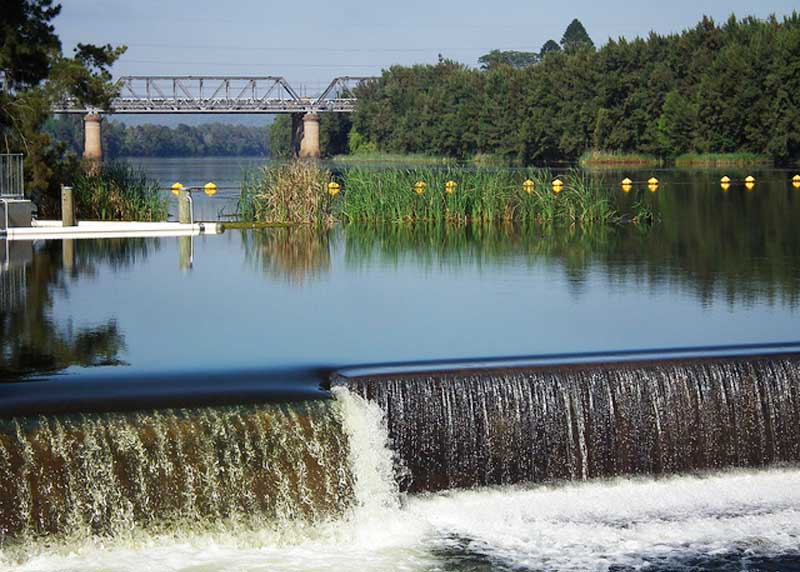
The original single track line from Sydney opened on 19th January 1863 as the terminus of the Main Western line when it was extended from St Marys. The line was extended to Springwood on 11 July 1867. The line was duplicated in 1886. As soon as the line was extended over the Blue Mountains, Penrith became an important railway centre where locomotives and crews were changed and passengers took refreshments. Most T1 Western Line services now terminate at Emu Plains. The station is also a stop on the Blue Mountains Line, which carries NSW TrainLink services to the Blue Mountains, Lithgow, Bathurst, Dubbo and Broken Hill.
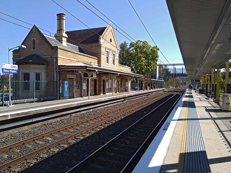
Emu Plains
Emu Plains is the western extremity of the Sydney Trains network with points at the eastern end of the station allowing services to terminate at either platform. Built in 1883, the Emu Plains Railway Station is a substantial building constructed of brick and sandstone. Emu Plains Station was known as the gateway to the Blue Mountains and played a central role in the expansion of the area. This building replaced a smaller station that was completed in 1868 located west of Old Bathurst Road.
A Victorian Gothic Revival style building, it combines both station offices and the Station Master's residence. It is one of only three remaining metropolitan examples (with Fairfield and Riverstone) of the early custom of providing accommodation for railway staff within the same building as the station facilities, and is the only two-storey metropolitan example remaining.