Travel Australia


Railway Stations: Boorowa, New South Wales
Boorowa is a farming village in the Hilltops Region in the south west slopes of New South Wales. It is located in a valley 340 kilometres southwest of Sydney around 490 metres above sea-level. The town is located on the Boorowa River, a tributary of the Lachlan River. The Murrumbidgee River drains the southern portion of the Boorowa district. The soil in the area is rich volcanic soil washed down over millennia from an extinct volcano known as Mount Canemumbola.
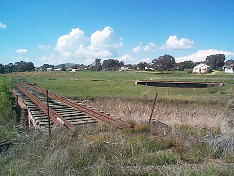
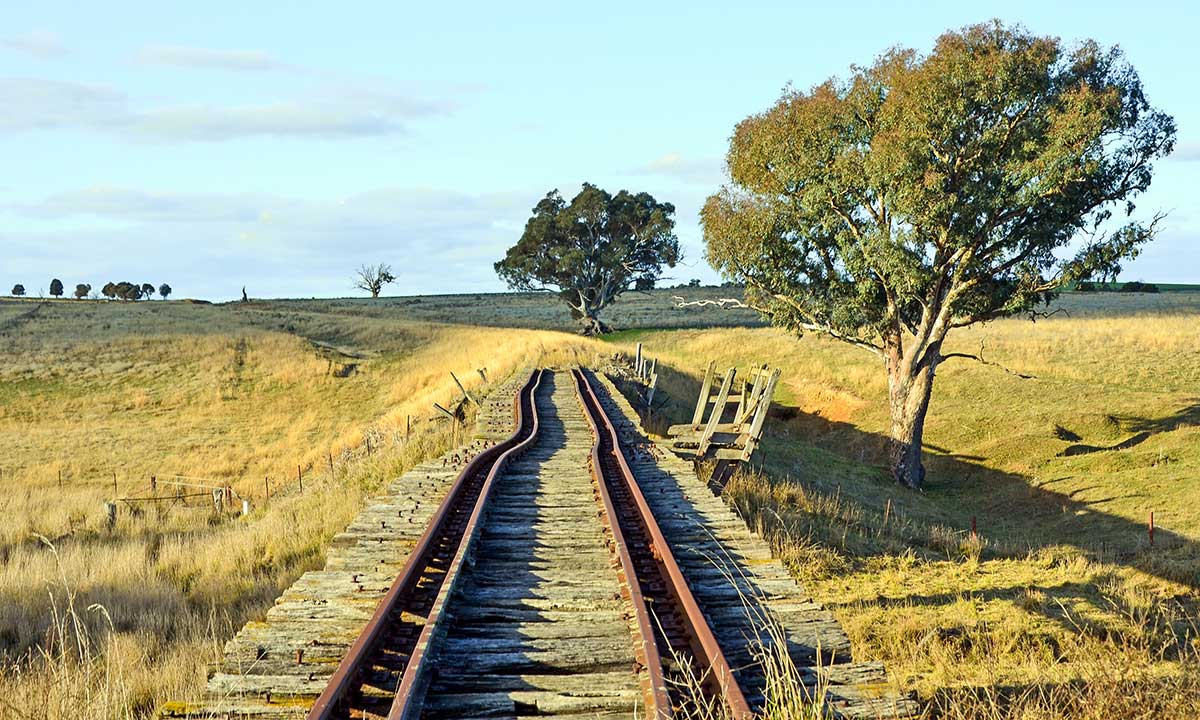
Boorowa station was 393km from Sydney by rail at the terminus of a 29km long branch line from Galong on the main south line. The last train to Boorowa ran in October 1987. The track has never actually been lifted, and although road crossings are sealed over and culverts are no doubt unsafe, much of the actual track remains in situ although in decrepit condition to this day.
About Boorowa
Before the arrival of Europeans, the area was part of the lands occupied by the Wiradjuri Nation with the Gandangara Aboriginal Australians. It is believed that the name 'Burrowa', the original spelling, derives from the local Aboriginal language and refers to a native bird, the plains turkey Australian bustard.
The first European to travel through what is now Boorowa Shire was surveyor George Evans in 1815. Unofficial occupation of the district began in 1821 with Irishmen Rodger Corcoran and Ned Ryan, both former convicts who had received their 'ticket of leave' from the Governor. The first land grant in the general area was issued to Thomas Icely in 1829. A mill was operating on the future town site of Boorowa by 1837, along with an inn and several houses.
Governor Gipps proposed the creation of a village named 'Burrowa' in 1842, to be located 9 km north-east of the present site at Kings Plains which had been surveyed in 1828. However, that spot proved unsuitable and the village was established on its present site in 1843. The early years in the district saw lawlessness and mayhem as a result of long running boundary disputes, theft of livestock and arson, even murders; the cause being remoteness and lack of law and order. Bushrangers roamed the surrounding unsettled wild mountainous land, making raids into the town and stations of the district.
Squatters took up large tracts of land in the Boorowa area but the introduction of the Robertson Land Acts in 1861 resulted in a new land grab where large numbers of settlers, particularly 'ticket of leave' men, applied for a 'selection' of land with low cost land parcels available. The district was given over to farming, although it received a push along when gold was found at Carcoar, Browns Creek and Kings Plains. Gold mines were established although copper and iron were also extracted. Samuel Marsden's copper mine operated until 1900.
Boorowa residents and the local member of parliament lobbied the Government to direct the new southern main line progressing towards Goulburn to pass through the town. However the towns of Yass and Murrumburrah won the debate. The next best option was a branch line to the town and this lobbying lasted 40 years before the line was eventually constructed, opening for traffic on 10 October 1914.
The arrival of the railway in 1874 spurred development. Burrowa's name was then changed to "Boorowa". Boorowa replaced Carcoar as the major service centre to local farmlands. It became a municipality in 1888. By the turn of the century a butter factory and freezing works were major employers in the town. Passenger trains ceased in 1980 and the Boorowa railway line from Galong to Boorowa closed in 1987.
The post office was ordered to discontinue use of the name "Burrowa" in 1914, but the two spellings were used interchangeably throughout the area for many years and the town's newspaper stubbornly retained the old spelling on its masthead until January 1951.
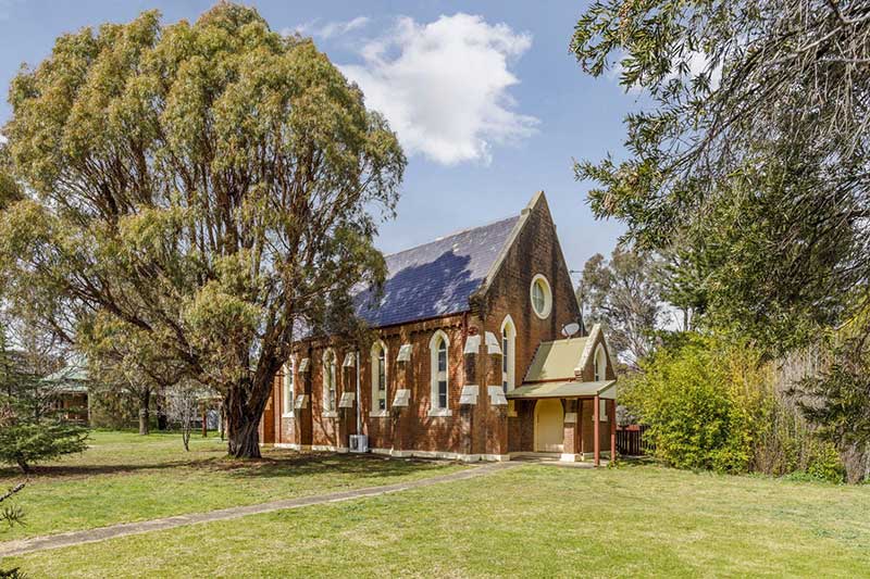
St Patricks Catholic Church was the first Roman Catholic Church west of the Great Dividing Range, was completed in 1875 and officially opened in 1877. The church features outstanding stained glass windows depicting Saints Patrick, Brigid and Columba which were imported from Ireland and installed in 1881. The church also has a high altar made from imported Italian marble.
At the 2011 census, Boorowa had a population of 1,211 people which had grown to 1,641 in the 2016 census.
Design by W3layouts