


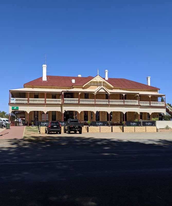
Port Broughton is situated on a sheltered inlet at the extreme northern end of Yorke Peninsula on the east coast of Spencer Gulf, close to the Southern Flinders Ranges, Clare Valley wineries and the Copper Coast. The town is named after the Broughton River (named by explorer Edward John Eyre after William Broughton), the mouth of which is about 40 kilometres north of the township. With a population of around 1,000, its close proximity to Adelaide (two hours' drive) makes it a popular tourist destination, with the number of people in town swelling to over 4,000 in the summer holidays.
Since its establishment, Port Broughton's economy has largely been driven by agriculture, in particular cereal crops. Commercial fishing is also an important part of the economy, with scalefish and Blue swimmer crabs accounting for much of the catch. As of 2010 Port Broughton supports a prawning fleet. Like many towns on the Yorke Peninsula, Port Broughton is now a tourist destination, with activities such as fishing, crabbing and a variety of watersports being popular. The town has a boat ramp for such activities. Short-term accommodation includes two caravan parks, a number of units and a motel. Nearby Fisherman Bay has many shacks belonging to holiday-makers, as well a boat ramp for small vessels.
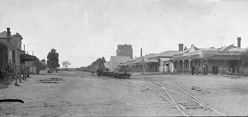
Photo: South Australian Government
Port Broughton to Mundoora Tramway
The Port Broughton railway line was an isolated 3 ft 6 in (1,067 mm) narrow gauge railway line from Mundoora, 16 km inland and uphill, to port Broughton on Specner Gulf. The line officially opened on 11 March 1876, to bring grain down from to the port. Horses were used to tow the empty wagons uphill, but they were sent downhill powered only by gravity, with a driver to operate the brakes. In 1906, Clarence Goode, a member for Stanley in the South Australian House of Assembly, proposed the use of steam or petrol-powered locomotives on the line, but nothing further happened.
The farmers would bag their wheat in four bushell bags, which wer hauled by bullock dray to the Mundoora railway siding. It is reliably stated that up to 100,000 bags of wheat were carted to the storage facility st Mundoora siding in a single harvest yield. Up until World war I, Mundoora had the highest wheat receival in the state.
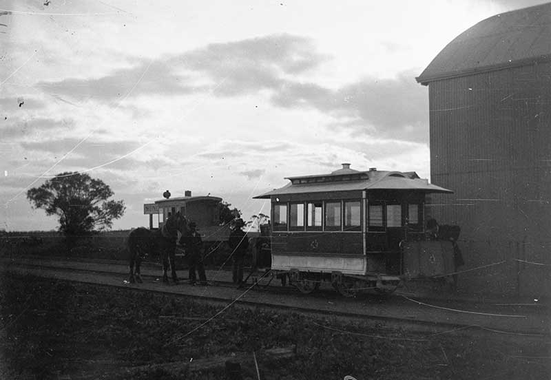
Photo: South Australian Government
The passenger train carriage was known as the pie Cart. It could seat 12 passengers, having four parallel seats, the rearseat being a mailbox. At a cost of 1/6 (one shilling 6 pence) one could travel on it. The Pie Cart took around 75 minuted to travel the 19 km jourmey. The passenger service ceased on 17 September 1925, but the grain traffic continued.
During January, 1926, a Fordson rail tractor displaced the animal power. From 1931, the railways contracted out the service to a private operator. The service ceased altogether on 3 August 1942, but the tractor continued to shunt wheat wagons between the station yard and the jetty at port Broughton until moved elsewhere. Ketches carried the grain from the jetty 8 kilometres out into the gulf where the larger windjammers were anchored to carry the grain back to England. The windjammers ceased to call in 1949. A flat top railway wagon used on the ine is on display in the Mundoora Museum.
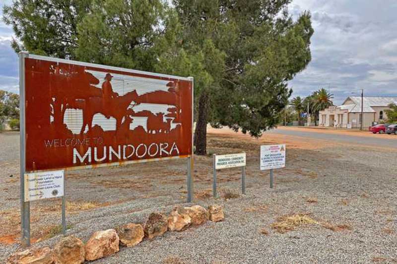
Mundoora
Mundoora is a small settlement that was once much bigger and busier than the quiet backwater it is today. In the latter half of the 19th century, Mundoora was a business centre for the farmers on the western side of the Barunga Range. The little settlement of Keilli was supposed to become the terminus for the horse-drawn railway to Port Broughton, but when the gradients were deemed to be too steep, the railway ended at the point where Mundoora now stands. The two poential townships - Mundoora where the line ended and Keilli where it was supoosed to end - both struggled for survival. Mundoora won out in the end, and was eventually surveyed as a town in 1912. All that remains of the railway is a flat top wagon used on the railway that is on display in the Mundoora Museum, and a street named Railway Terrace.
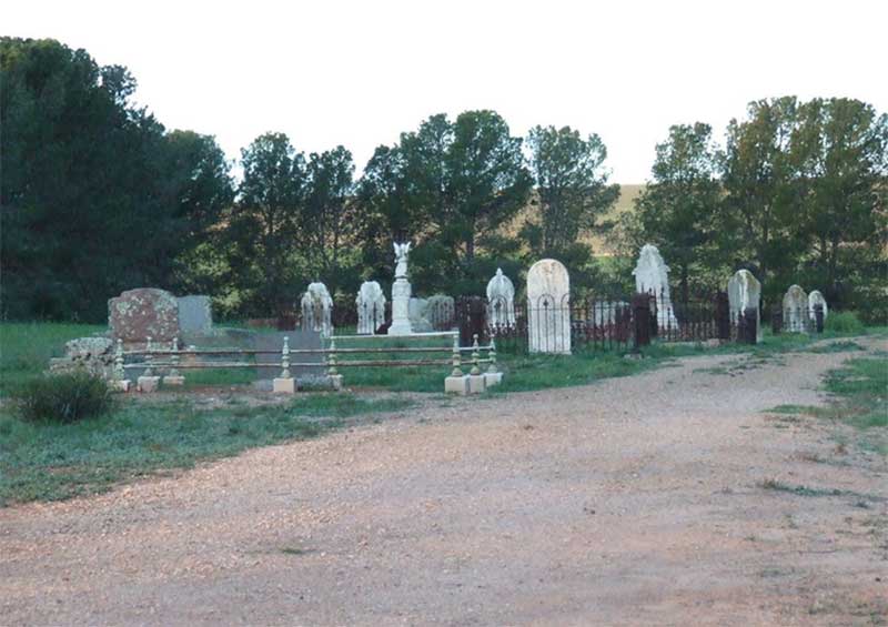
Keilli Cemetery
Keilli
The town of Keilli, about 10 kilometres from Redhill, had been surveyed in August 1873 by J H Packar) and proclaimed on 23 September 1875 as Redhill. Within two months, its name was changed to Keilli - an Aboriginal word for 'extended plain'. It had a school between 1872 and 1909, a shop and a post office, at first known as Broughton Extension, and boasted a few settlers. This name was changed as well in February 1876. It operated from October 1873 until 1920. Keilli cemetery, which is still used by local residents, is all that is left of the township. Most people had moved into Mundoora by 1912 and the remaining Keilli buildings were pulled down. For a short period there was a small Baptist Church in front of the Keilli cemetery. It opened in 1886 but closed just a few years later in 1890. The town was declared 'to cease to exist' in 1966.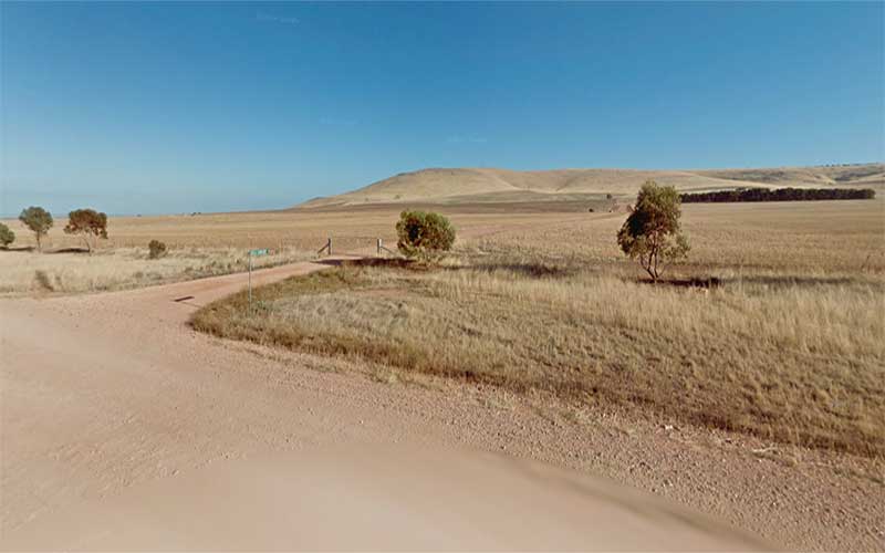
Site of the planned Keilli township
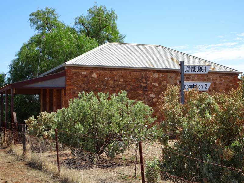
Johnburgh
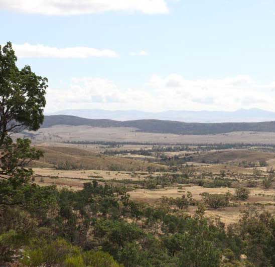
View from Moockra Tower