


For the Eglish and German migrants who came to South Australia looking for a better life, when an extended drought ruined their crops and their hopes of economic freedom were dashed, they must have felt like they were at the world's end. In response to their calls for help, SA's Surveyor General, George Goyder undertook an extensive trip throughout South Australia in 1866 to understand the extent of the drought, and in the process to create what was called Goyder's Line, a delineation between the arable and arid lands. Was the creation of that line the casuse for many farmers to beieve that the semi-arid country beyond it was indeed the end of the world, and to call it that?
It's a very romantic story but has no basis in fact. The truth is, the name was coined by a Scotsman, Donald McDonald who established the World's End pastoral station there in 1851, 15 years before Goyder drew his line. To a Scotsman, Worlds End has a totally different meaning to everyone else. The name recalls the Battle of Flodden of 1513 when the English defeated the Scots. King James of Scotland realised his capital city of Edinburgh was almost defenceless, and hastily had his men build a wall to protect the city. A pub just on the outside edge of the wall was called Worlds End pub as it was beyond the defences. This pub still exists and you can visit it in Edinburgh. The current one is actually built on the foundations of the wall erected after the Battle of Flodden.
Edinburgh's Worlds End pub would be the first of maany such pubs built on the outskirts of towns all over Scotland. Being from Aberdeenshire, McDonald would been familiar with Worlds End House, built there in 1767 on which the Scottish fable of the Well of Worlds End is based. Worlds End House was looked upon with great affection by the locals, so it would have been a natural choice for McDonal when naming his colonial pastoral run.

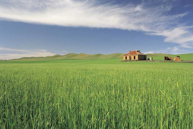
The World's End pastoral station was originally part of the territory of the Ngadjuri people. A few years before Goyder surveyed the area prior to establishing his life, McDonald sold his lease and moved to Queensland. The new leasees, Charles Ware and Edgar Chapman, were horrified when, as a result of the establishment of Goyder's line, their run was deemed to be on the good side of the line and it was re-valued by some 1400%. Their protests to the Government forced the establishment of a committee to investigate the matter, however the government refused to amend Goyder's Line.
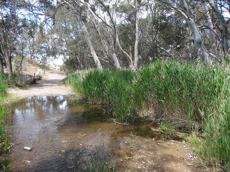
Burra Creek, Worlds End
Years of drought in the 1860s forced many pastoralists on the region's more marginal lands to walk off their properties, Ware and Chapman being among them. The World's End run remained vacant for a number of years until German farmers from around Robertstown began moving into the area, seeking further land for their farming activities. Seeing the need for a town, the government surveyed a section of World's End around Burra Creek in June 1877, and named the it Lapford. The town was never developed and though some blocks were eventualyy sold in 1941, the town was declared to have ceased to exist on 13 December 1962.
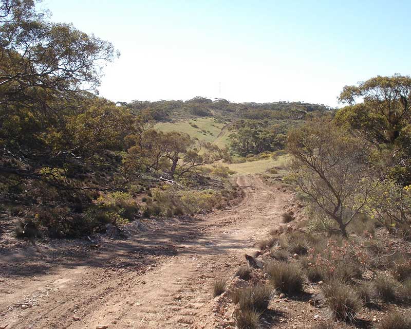
Hallelujah Hills
Worlds End Creek Post Office opened on 1 November 1876 to service the farmers who had moved into the area. A close knit community developed using the name World's End. They once had their own cricket and tennis teams. The post office eventually closed on 31 May 1971. Worlds End Creek School opened in 1888 and closed on 2 September 1944 due to a lack of teachers available. The Wesleyan Methodist church building was opened in 1889 and closed in 1975. It was used as a school for part of its history. Though the settlers were predominantly German, they did not established a Lutheran church at World's End, but instead traversed the Hallelujah Hills, part of the Burra Ranges, to Emu Downs to attend the Lutheran church (and cemetery) there.
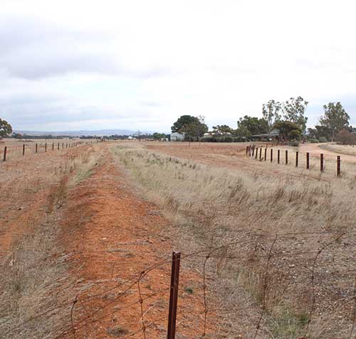
Worlds End is 22 km south-east of Burra via the Goyder Highway. Worlds End Gorge (Burra Creek) is at Burra Creek Gorge Reserve, a popular campground where you can get water straight from the creek, though it has an earthy flavour. Facilities include drop toilets, picnic tables, rubbish bins and fire pits (BYO firewood). The Reserve is on the Heysen Trail. The remoteness, the lack of a mobile phone signal and the abandoned farm buildings and houses in the vicinity do give the impression that the world does end here.
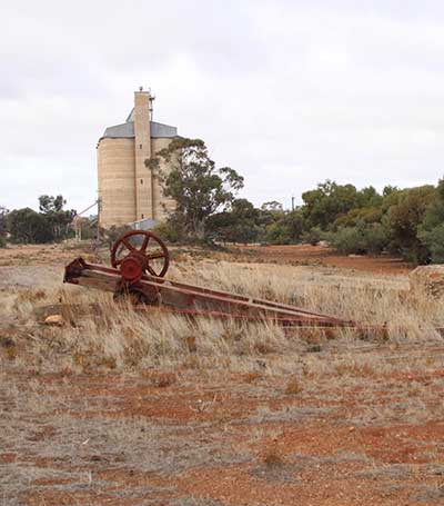
Robertstown grain silo
Site of the railway junction at Eudunda, looking north towards Robertstown.