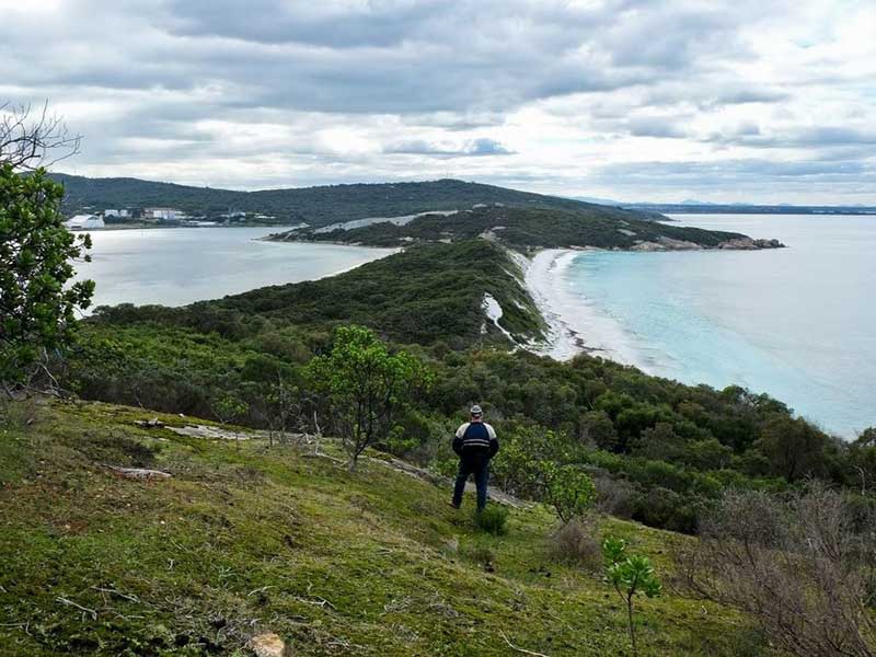
Vancouver Peninsula towards Point Possession, Albany, WA
Located between Princess Royal Habrour and King George Sound near Albany, Western Australia, Possession Point on Vancouver Peninsula is the place where, on 29th September 1791, Captain George Vancouver took possession of Western Australia to as far east as Esperance. The locality is marked with a cairn documenting the event. It has far greater significance in the history of Australia than most people realise. Vancouver had travelled all the way from the west coast of America to the south west corner of the Australian continent just to claim a section of it for the British crown. Having done that, he promptly headed back into the Pacific where he had come from for a further two year's of exploration there.
Upon taking a closer look at world events at that time, however, the reason for Vancouver's voyage across way half the globe and back just to raise a British flag on an isolated corner of an unwanted continent, becomes clear. It was through Vancouver's action that Britain told the rest of the world, and France in particular, that it wanted the whole of the Australian continent to be within its territory, and for them to keep their hands off.
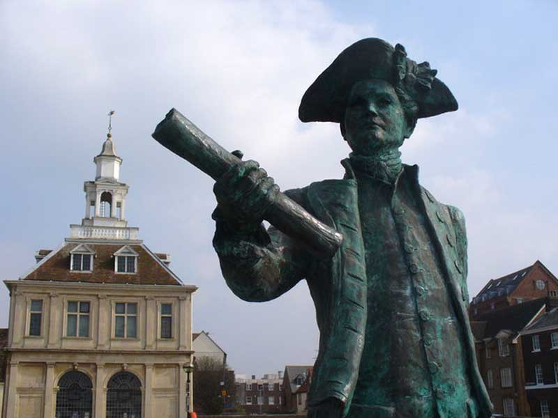
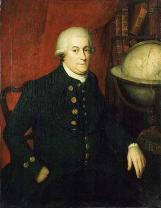
George Vancouver
In 1770, Cook had claimed only the eastern seaboard of Australia, a claim which was validated by Arthur Phillip settling the area claimed by the establishment of the colony of New South Wales. Like Cook's claim, Vancouver's claim would have to be validated and so it was only a matter of time before some sort of occupation occurred. Spurred on by a string of French expeditions along Australia's shores in the early decades of the 19th century, Major Edmund Lockyer was sent to establish a military garrison at King Georges Sound in 1827. It is no coincidence that the spot he chose to establish what was to become the town of Albany was within sight of the place where Vancouver took possession.
Vancouver's claim of possession was precipitated by events that were unfolding on the other side of the Pacific Ocean on the west coast of Canada. Ten years before Cook set sail on his first voyage into the Pacific, Britain had defeated the French and Spanish in the Seven Year War, fought over territrorial rights in Canada. Cook visited Nootka Sound, an inlet on the western coast of Vancouver Island, British Columbia, in 1778, and traded for some sea otter pelts. Once his journals were published in 1784, the fur trade took off, much to the displeasure of Spain which believed it had sole trading rights in the area as it claimed the sound was Spanish territory. The Spaniards had claimed possession of the whole northwestern coast of America on the strength of a papal grant of 1494, that had been confirmed when their explorers had formally taken possession. The British ignored the Spanish and the dispute came to a head in 1789 when the Spaniards seized four British trading vessels that were caught trading in the sound.
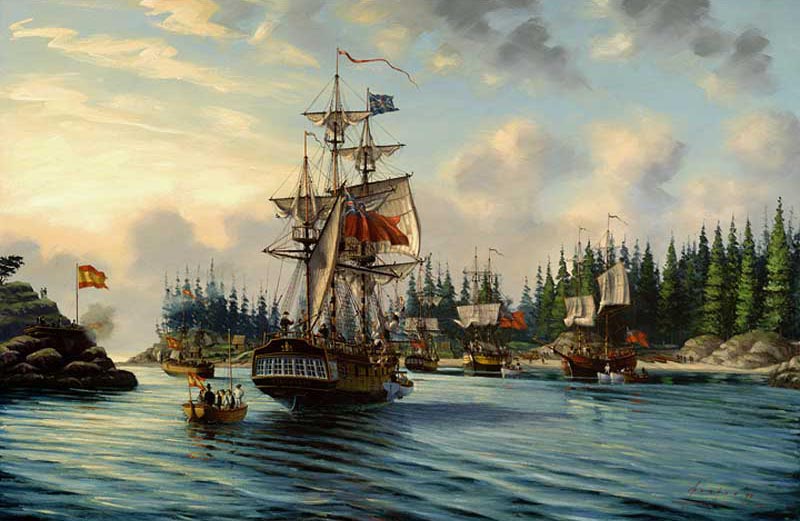
HMS Chatham, Nootka Convention
Britain contended that rights of sovereignty could be established only by actual occupation of the land, something it had already done by claiming Spanish Australia for Britain in 1770 (Britain had said nothing, hoping Spain wouldn't notice). The British seized upon Spain's action and talked about going to war over it to force the issue. Because of Spain's military weakness and Prussian diplomatic support on behalf of Great Britain, Spain yielded to the British demands. The Nootka Sound Convention (signed in 1790, amended in 1794) resolved the controversy between the two countries. The convention acknowledged that each nation was free to navigate and fish the Pacific and to trade and establish settlements on unoccupied land. In so doing, it gave the international nod of approval to Britain's right to establish the colony of New South Wales and annexe the continent of Australia as a British colony.
Vancouver, who was involved in the initial negotiations, was the British envoy sent to Nootka Sound to implement locally the terms of the Agreement with Spain. Once the job was completed, he returned to England with the documentation, where he was immediately dispatched to the South Pacific to carry out further exploration. Though not publicly stated, he was also instructed to tie up the loose end relating to the sovereignty of the rest of the Australia.
The western slab of the Australian continent still bore Holland's name, it had been claimed by both the Dutch and the French but was in Portugal's half of the world according the Treaty of Saragossa forged between Spain and Portugal. As Britain was not a party to the the Treaty of Saragossa, in Britain's eyes and under the Nootka Sound Convention, it was still up for grabs.
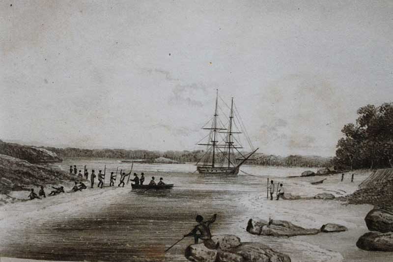
Phillip Parker King's 1818 sketch of Oyster Harbour
Sailing east from the Cape of Good Hope aboard Discovery in company with the tender, Chatham, Vancouver sighted Pt Nuyts on 23th September 1791. New Holland, the name given to the west coast of Australia, had been located and partially surveyed by the Dutch. The available charts were, however, rough and imprecise and Vancouver began surveying the coast and ascribing names to features. The first name he gave was Cape Chatham. The French explorer, Bruny d'Entrecasteaux, was leaving Brest in France at about this time to search for Laperouse and, in early December 1792, d'Entrecasteaux would sail past the same piece of coast that Vancouver was now exploring.
On 28th September, the ships entered a spacious sound, which he named King George the Third's Sound. The first chart of the voyage was produced here and several names in the sound date from Vancouver's visit. The foolowing day, he entered, named and set up camp on Princess Royal Harbour, going ashore on Vancouver Peninsula where he claimed the western part of Australia for King George III at Point Possession at the tip of Vancounver Peninsula. His primary mission was accomplished; the whole of Australia was now British territory. Vancouver stayed there until 11th October, stocking up with fresh water and wood. Evidence of inhabitation was seen, including a group of huts and a fish trap but no people were sighted.
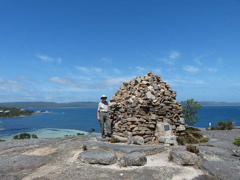
Comemorative Cairn, Possession Point, King Georges Sound, Albany, Western Australia
When the ships sailed they tried to follow the coast but poor visibility hampered their progress, they then arrived at a mass of small islands. These same islands were charted and named by d'Entrecasteaux a year later as the Archipelago of the Recherche (after d'Entrecasteaux's ship). Vancouver charted just one island, Termination Island, which he thus named because he thought it prudent to keep away from trouble by leaving the coast at this juncture. Vancouver spent the next three years exploring the coasts of New Zealand, Tahiti, Hawaii and the west coast of North America, never to return to Australia's shores again.

Design by W3layouts